Contact us at the Dron-e office or submit a business inquiry online.
-
Agisoft Metashape – Version 2.2 updates
- January 13, 2025
- Posted by: noAdmin
- Categories: News, Photogrammetry, Press Release
No Comments
Agisoft updates Metashape to version 2.2, adding advanced features for LiDAR data processing.
-
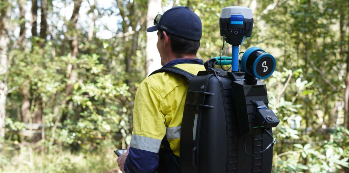
Emesent presents Backpack RTK for Hovermap: new possibilities for even more accurate SLAM surveys
- September 20, 2024
- Posted by: noAdmin
- Category: News
-
Come diventare pilota di drone professionale
- February 28, 2023
- Posted by: Francesco D.
- Category: News

Quello del pilota di droni è da diversi anni in via di consolidamento come uno dei lavori del futuro, una professione nuova in un mercato del lavoro sempre più dinamico e orientato verso il progresso. Se, da un lato, i processi di automazione e di avanzamento tecnologico minacciano sempre di più i lavori convenzionali, dall’altro vediamo comparire nuove professionalità come questa e il mondo del lavoro del prossimo futuro dovrà necessariamente adattarsi a tali tipologie di occupazione.
-
Dron-e ricerca piloti di UAS in tutta Italia
- January 5, 2023
- Posted by: noAdmin
- Categories: News, Press Release

Dron-e è alla ricerca di piloti esperti per ispezioni di infrastrutture in Italia.
-
Agisoft Metashape giunge alla versione 2.0
- January 2, 2023
- Posted by: noAdmin
- Categories: News, Photogrammetry

Agisoft rilascia Metashape 2.0: integrazione perfetta tra aerofotogrammetria e LiDAR.
-
Comparativa tra DJI Mavic 3 Multispectral e Phantom 4 Multispectral
- December 5, 2022
- Posted by: noAdmin
- Category: DJI Enterprise Dealer
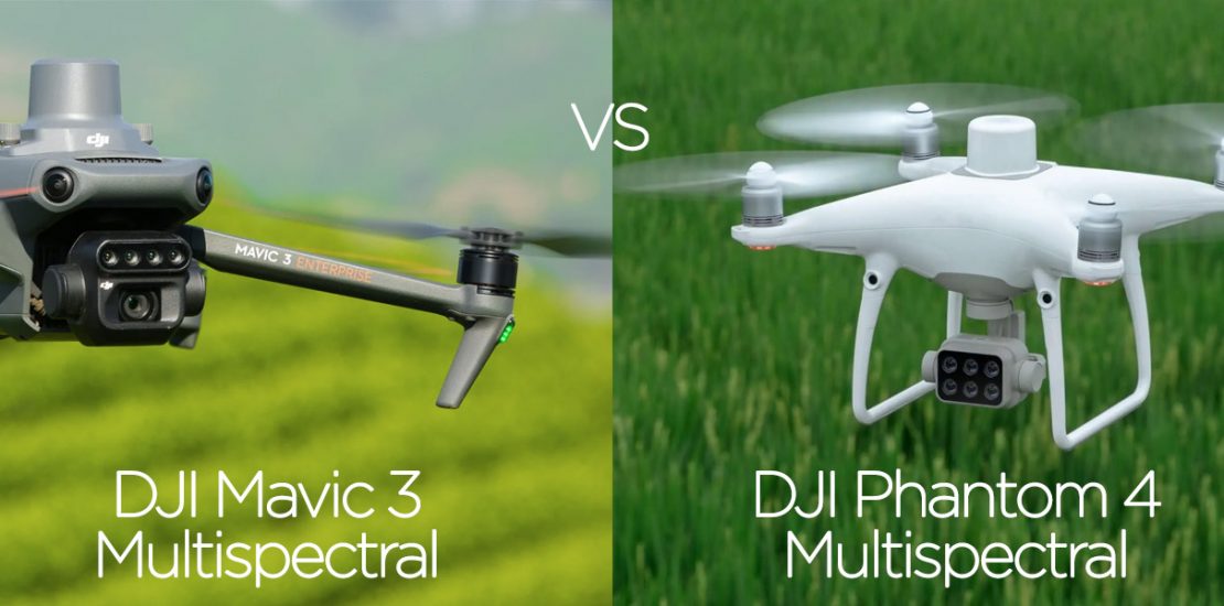
Comparativa tra il drone DJI Mavic 3 Multispectral ed il DJI Phantom 4 Multispectral
-
DJI Agriculture lancia il Mavic 3 Multispectral per rendere accessibile l’agricoltura di precisione
- November 28, 2022
- Posted by: noAdmin
- Categories: DJI Enterprise Dealer, News
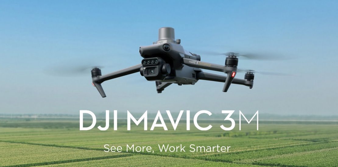
DJI, leader mondiale nel settore dei droni civili, introduce oggi il Mavic 3 Multispectral, mettendo a disposizione di tutti tool avanzati per l’agricoltura di precisione.
-
Attiva SpA e DRON-E presentano i droni DJI Enterprise all’evento del 24/11 a Catanzaro.
- November 15, 2022
- Posted by: noAdmin
- Categories: DJI Enterprise Dealer, News, Press Release

Evento sui droni DJI Enterprise il 24 novembre 2022 a Catanzaro. Si tratta di una tappa unica nel Sud Italia, in cui l’azienda catanzarese presenterà dal vivo gli ultimi prodotti della gamma DJI Enterprise e farà una panoramica sulle tutte le possibili applicazioni in ambito industriale, tracciando le linee di un futuro sempre più vicino alla vita di tutti noi.
-
Emesent presenta Hovermap ST-X
- October 20, 2022
- Posted by: noAdmin
- Categories: LiDar Survey, Press Release
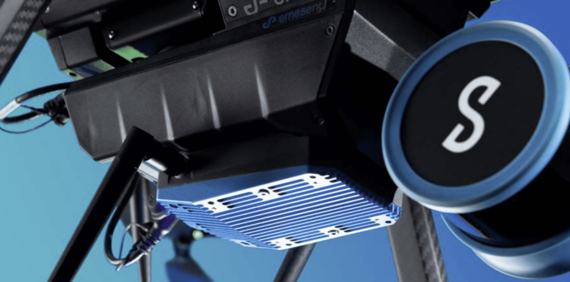
Versatile ed autonomo: il LiDAR basato su tecnologia SLAM che rende l’acquisizione dati semplice e veloce.
-
Better Coverage and Efficiency for Industrial Plants and Infrastructure Data Capture with Hovermap SLAM LiDAR
- October 16, 2022
- Posted by: noAdmin
- Categories: Innovation, LiDar Survey, Survey & Mapping, Webinar

Better Coverage and Efficiency for Industrial Plants and Infrastructure Data Capture with LiDAR SLAM
-
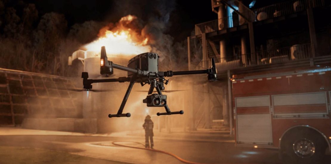
DJI H20N: il miglior sensore per la visione notturna per DJI M300
- April 20, 2022
- Posted by: noAdmin
- Categories: DJI Enterprise Dealer, Innovation
-
Emesent presenta Hovermap ST
- March 31, 2022
- Posted by: noAdmin
- Categories: LiDar Survey, Press Release
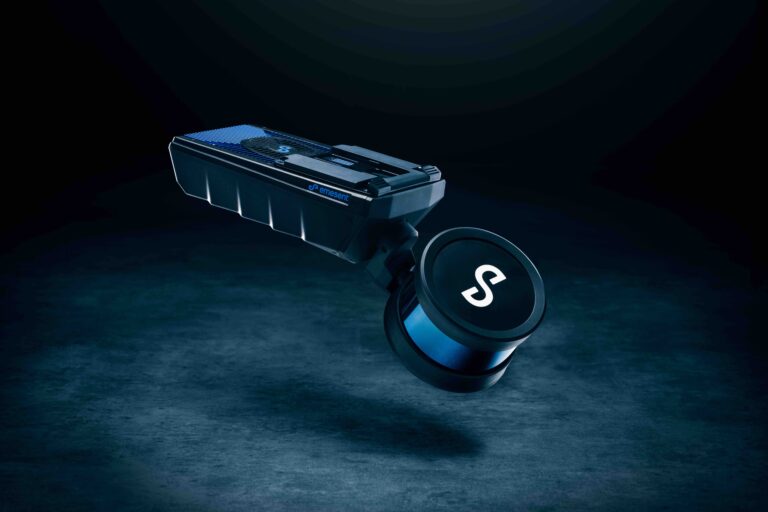
Versatile ed autonomo: il LiDAR basato su tecnologia SLAM che rende l’acquisizione dati semplice e veloce.
-
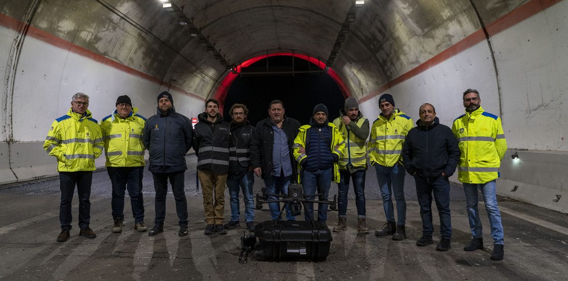
DRON-E executes the first autonomous drone flight in Italy for ANAS S.p.a.
- March 15, 2022
- Posted by: noAdmin
- Categories: Innovation, LiDar Survey, Survey & Mapping
Dalla Nuvola di Punti al BIM con Emesent Hovermap smart mobile mapping LiDAR
-
Dron-e digitize an entire bridge in less than 30 minutes
- February 24, 2022
- Posted by: noAdmin
- Categories: LiDar Survey, Survey & Mapping

Dalla Nuvola di Punti al BIM con Emesent Hovermap smart mobile mapping LiDAR
-
Dron-e digitalizza un intero ponte in meno di 30 minuti
- February 23, 2022
- Posted by: noAdmin
- Categories: LiDar Survey, Survey & Mapping

Dalla Nuvola di Punti al BIM con Emesent Hovermap smart mobile mapping LiDAR
-
The Basics of Thermal Drones
- December 10, 2021
- Posted by: noAdmin
- Category: DJI Enterprise Dealer
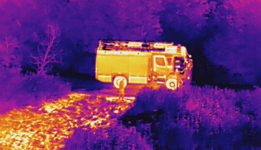
Thermal imaging in small unmanned aerial vehicles (sUAVs) or drones has been gaining popularity in recent years.
-
Surprising Facts About Spraying Drones
- December 10, 2021
- Posted by: noAdmin
- Category: DJI Enterprise Dealer
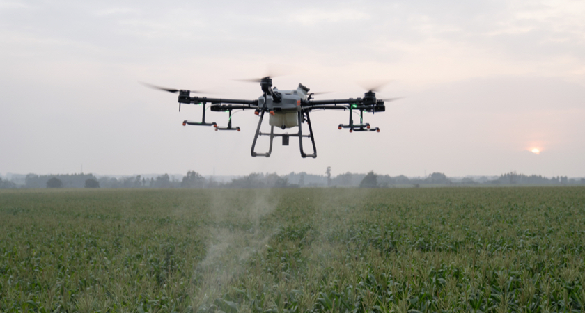
Drones are now established tools in the agriculture business, boosting the productivity of farms…
-
Top 9 Features of the Matrice 300 RTK
- December 10, 2021
- Posted by: noAdmin
- Category: DJI Enterprise Dealer

DJI’s newest, latest, and greatest: the Matrice 300 RTK. We’ve welcomed feedback from…
-
Dron-e diventa primo rivenditore Emesent in Italia
- November 22, 2021
- Posted by: noAdmin
- Categories: LiDar Survey, Press Release
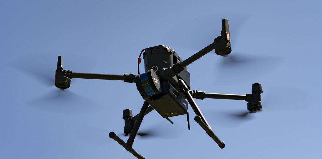
Versatile ed autonomo: il LiDAR basato su tecnologia SLAM che rende l’acquisizione dati semplice e veloce.
-
Aerodyne and Dron-e Collaborate to Explore USD900 million Italian asset inspection market
- July 19, 2021
- Posted by: noAdmin
- Category: Press Release
