Contact us at the Dron-e office or submit a business inquiry online.
-
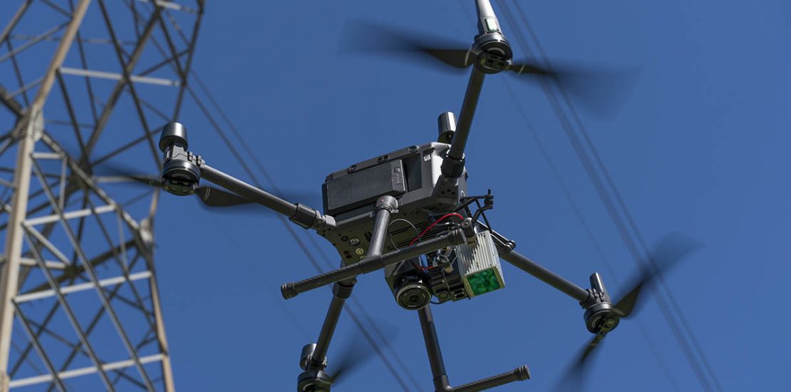
Emesent presenta Hovermap ST-X
- October 20, 2022
- Posted by: noAdmin
- Categories: LiDar Survey, Press Release
No Comments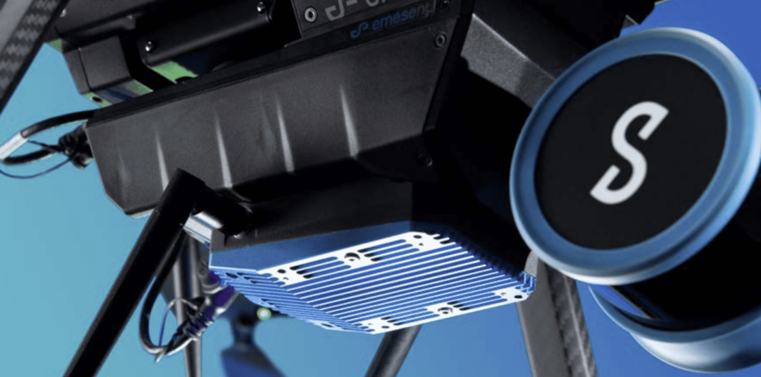
Versatile ed autonomo: il LiDAR basato su tecnologia SLAM che rende l’acquisizione dati semplice e veloce.
-
Better Coverage and Efficiency for Industrial Plants and Infrastructure Data Capture with Hovermap SLAM LiDAR
- October 16, 2022
- Posted by: noAdmin
- Categories: Innovation, LiDar Survey, Survey & Mapping, Webinar

Better Coverage and Efficiency for Industrial Plants and Infrastructure Data Capture with LiDAR SLAM
-
Emesent presenta Hovermap ST
- March 31, 2022
- Posted by: noAdmin
- Categories: LiDar Survey, Press Release
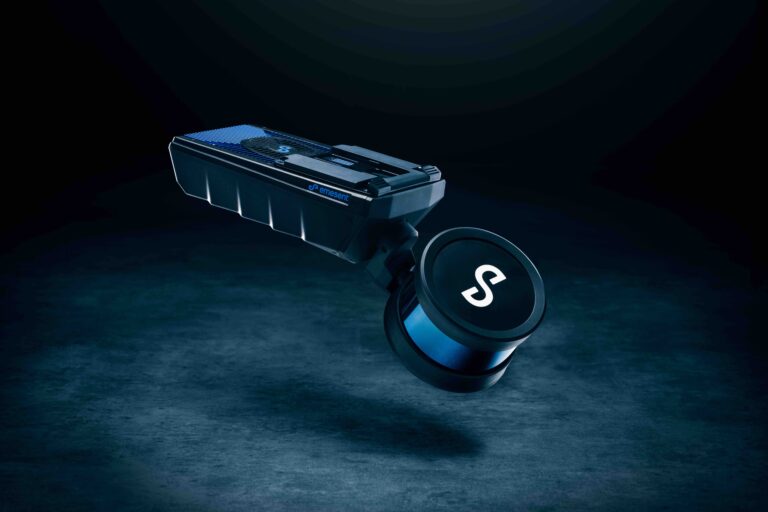
Versatile ed autonomo: il LiDAR basato su tecnologia SLAM che rende l’acquisizione dati semplice e veloce.
-
DRON-E executes the first autonomous drone flight in Italy for ANAS S.p.a.
- March 15, 2022
- Posted by: noAdmin
- Categories: Innovation, LiDar Survey, Survey & Mapping
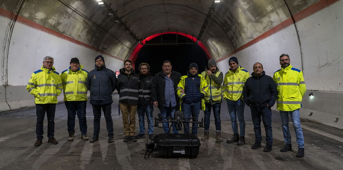
Dalla Nuvola di Punti al BIM con Emesent Hovermap smart mobile mapping LiDAR
-
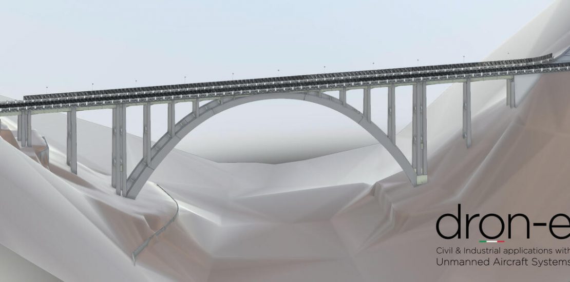
Dron-e digitize an entire bridge in less than 30 minutes
- February 24, 2022
- Posted by: noAdmin
- Categories: LiDar Survey, Survey & Mapping
Dalla Nuvola di Punti al BIM con Emesent Hovermap smart mobile mapping LiDAR
-
Dron-e digitalizza un intero ponte in meno di 30 minuti
- February 23, 2022
- Posted by: noAdmin
- Categories: LiDar Survey, Survey & Mapping
Dalla Nuvola di Punti al BIM con Emesent Hovermap smart mobile mapping LiDAR
-
Dron-e diventa primo rivenditore Emesent in Italia
- November 22, 2021
- Posted by: noAdmin
- Categories: LiDar Survey, Press Release
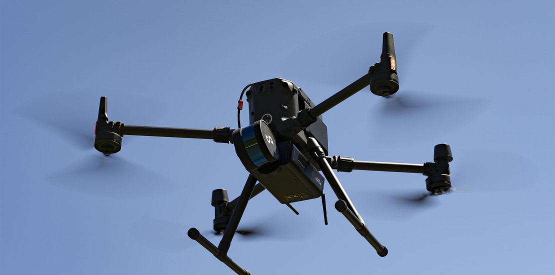
Versatile ed autonomo: il LiDAR basato su tecnologia SLAM che rende l’acquisizione dati semplice e veloce.
-
Aerodyne and Dron-e Collaborate to Explore USD900 million Italian asset inspection market
- July 19, 2021
- Posted by: noAdmin
- Category: Press Release