Contact us at the Dron-e office or submit a business inquiry online.
-
Dron-e digitize an entire bridge in less than 30 minutes
- February 24, 2022
- Posted by: noAdmin
- Categories: LiDar Survey, Survey & Mapping
No Comments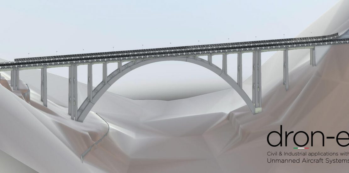
Dalla Nuvola di Punti al BIM con Emesent Hovermap smart mobile mapping LiDAR
-
Dron-e digitalizza un intero ponte in meno di 30 minuti
- February 23, 2022
- Posted by: noAdmin
- Categories: LiDar Survey, Survey & Mapping
Dalla Nuvola di Punti al BIM con Emesent Hovermap smart mobile mapping LiDAR