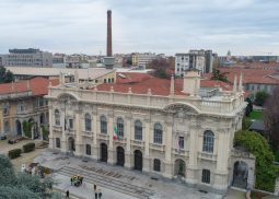
EXPERIENCED PILOTS.
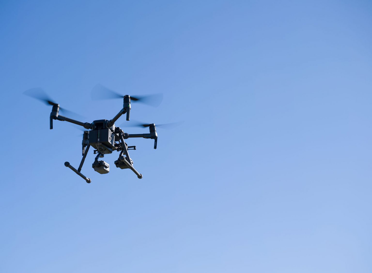
The best pilots are able to collect the best data for your purpose. Almost 10 years in the industry allow us to guarantee you this.
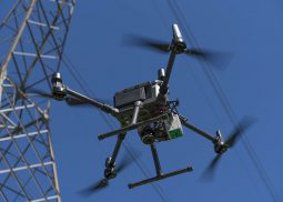
ACCIDENT FREE.
Our specialized training has allowed us not to have had any accidents and we are constantly working to maintain this result.
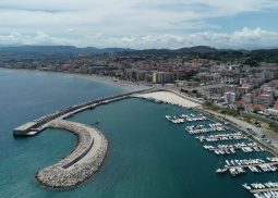
GLOBAL REACH.
Through our growing network of international partners we are able to offer services all over the world.
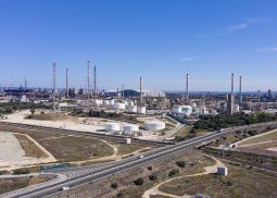
Oil & Gas
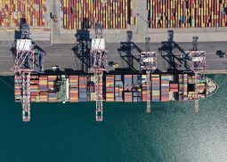
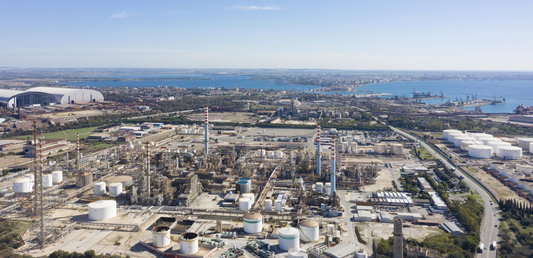
We work on offshore and onshore refineries, plants and construction sites offering close visual and thermal inspections.
Mining
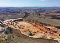
Volumetric calculation is essential in excavation work. We also provide a Digital Twin 3D for a virtual tours, and full IoT integrations.
Energy
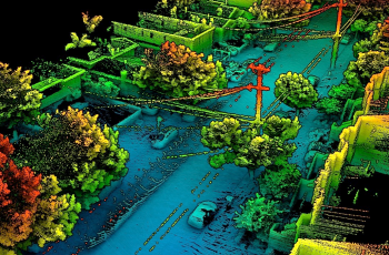
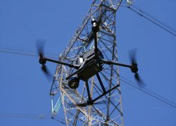
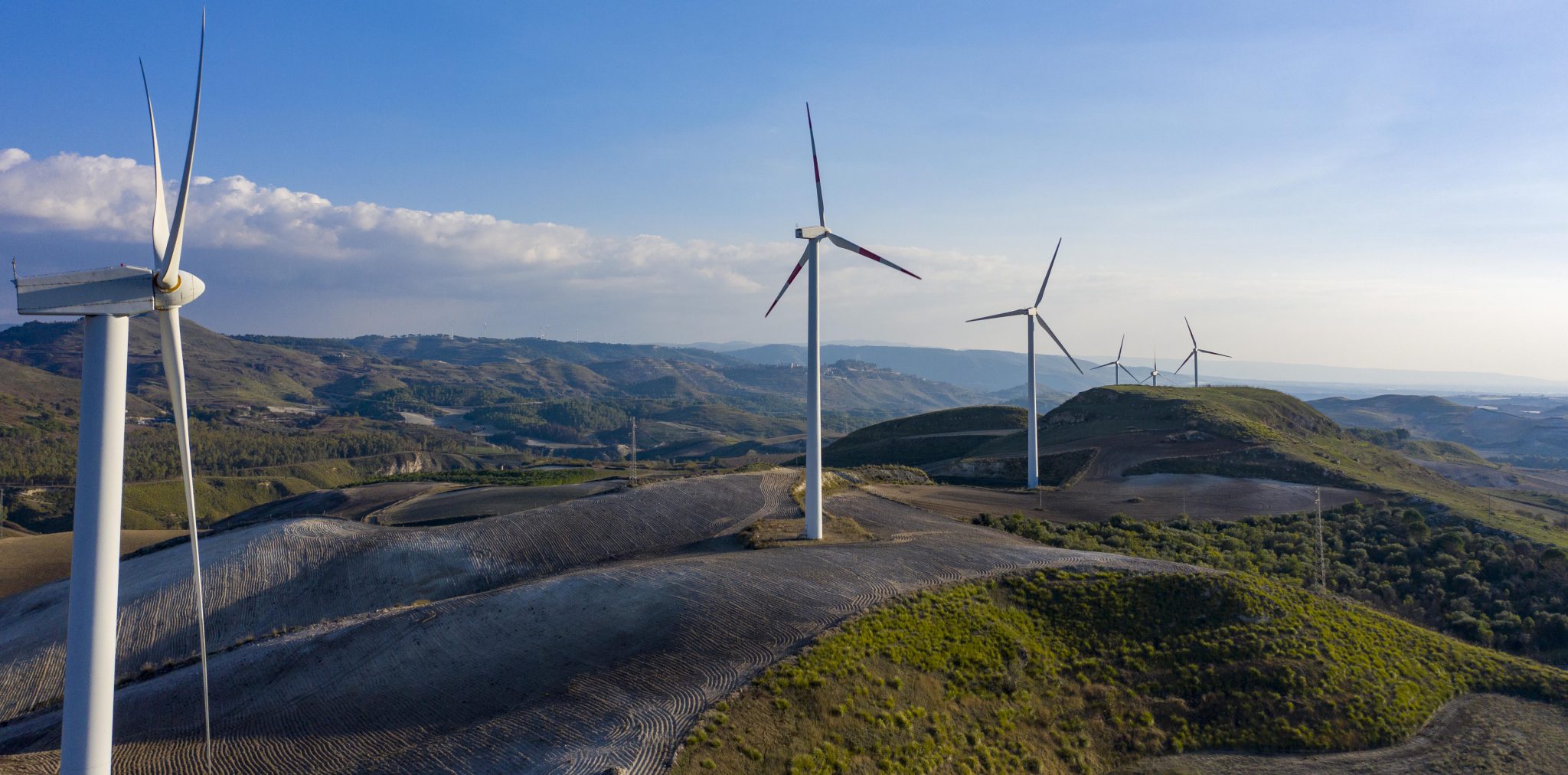
We are able to digitize the entire electricity grid. We can also inspect it and check the condition of the insulators, cables, interference.
Construction monitoring
We follow the projects from birth and highlight the construction progress. Able to operate even in confined spaces.
Agriculture
We support companies and their experts and provide them with maps based on multispectral indices.
Telco
It became essential to create the digital model of the Telco tower to design new installations and verify safety. We do it in minutes.
Heritage
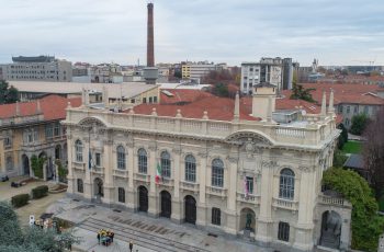
We create the digital twin of all the artistic heritage and verify the archaeological pre-existences.
Cinema
Professional aerial shooting with double operator, both indoors and outdoors with quality up to 5.2k.
Drone services for wildfire prevention, monitoring and emergency response
Integrated Drone Services for Wildfire Prevention, Monitoring and Emergency Response
read moreTerrasolid distributor e training center
Dron-e is the official distributor of Terrasolid software in Italy for LiDAR data and imagery processing from drones, airborne and mobile mapping.
read morePhotogrammetry Training & Software Solutions
Unlock the Power of Photogrammetry with Expert Training
read moreAerial Cinematography
Since 2014 we have been shooting professional aerial shots and working for video production services all over the world.
read moreAerial LiDar
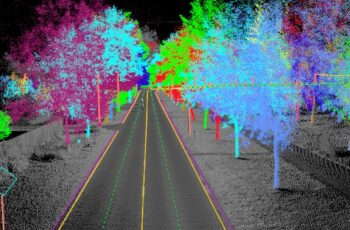
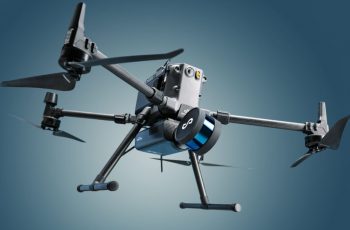
We operate a suite of LiDar systems to provide high-quality, fast and accurate terrain mapping, ranging in accuracy from 1 to 50 mm.
read moreConfined Spaces
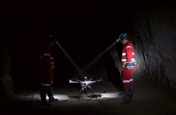
Drone inspections in confined spaces are a valuable tool in identifying defects, structural anomalies and various problems.
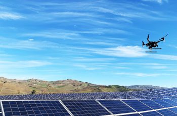
read moreSolar Site Inspection
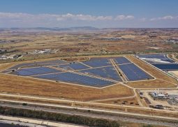
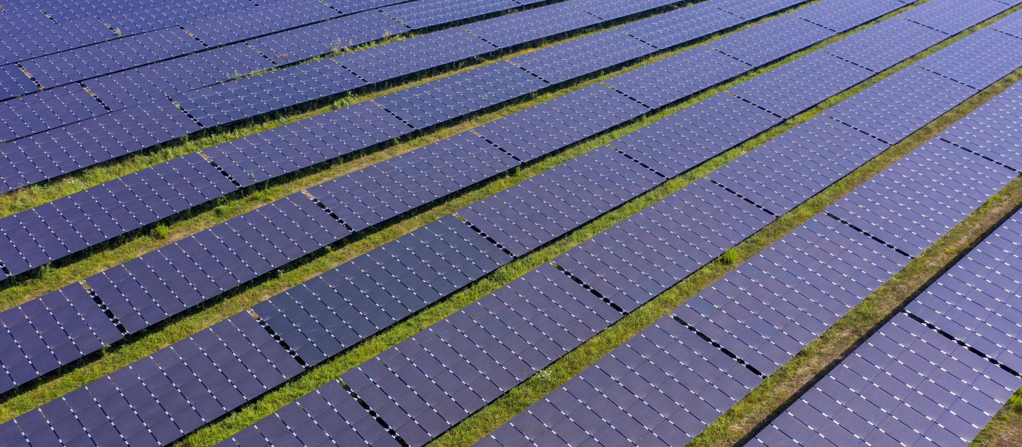
We allow you to collect aerial solar data and obtain comprehensive analyzes to understand deficits and optimize your resources.
read morePhotogrammetry
Realize accurate, detailed, and up-to-date 2-D maps delivered via quality drone data and specialized mapping software.
read moreEmesent Dealer
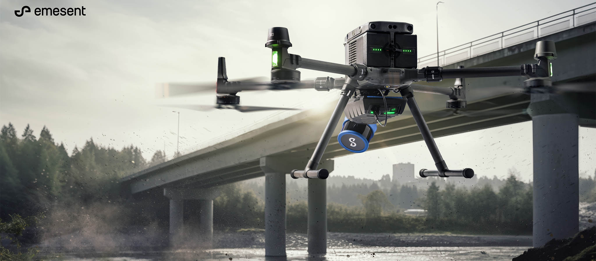
A world-leader in drone autonomy and LiDAR mapping, Emesent is know for delivering high-quality data capture in various industries.
read moreDetailed inspection
Drone inspection makes it possible to access areas that may pose health, safety and environmental risks in a fast and safe way.
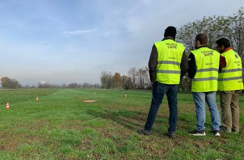
read moreTraining center
Regulations for civil use of UAS are being developed and implemented at an accelerated pace by ICAO, JARUS, European Union and EASA.
read moreDJI Enterprise Dealer
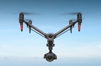
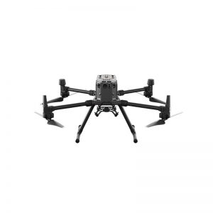
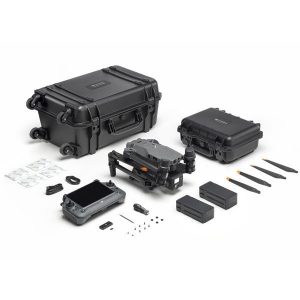
We resell the most used drones in the world in various application scenarios. Agriculture, energy, public safety, inspections, construction.
read moreDrone Data Collection.
Saving money
We collect your data and manage it intelligently with the help of AI and our drones we save you a lot of time. You know, time is money.
Scalable network
With Italy’s largest and most well-trained network of professional drone pilots, we can meet your needs, anywhere, anytime.
Work smart
We use algorithms based on machine learning to minimize the risk of human error and make data available in total security and in real time to our customers.
BVLOS ready
In compliance with the ENAC and the new European regulation we are carrying out the experimentation to take your operations beyond all limits.
Manage your data.
Our platform allows you to explore open and confined spaces by immersing yourself in the environment. The customization of the platform, the GIS integration and the possibility of collecting many data allow favor the use of the platform in the Oil & Gas, Solar, Real Estate, Heritage sectors. See an example and ask us more about this services.
We have developed together with our partners, leaders in the global drone market, an asset management software. We are able to manage the data collected by drones and other platforms to identify defects in bridges, roads and highways, power lines, photovoltaic systems and oil plants. Our platform, unique in Italy, keeps track of the history of maintenance interventions and automatically generates reports.
Our way of working is client-center. When we are entrusted with a job, we treat your data transparently and make it available on our cloud 3d visualization platform. The intermediate visualization of the deliverables is an integral part of our workflow and makes the customer aware of our work.
Completed Cases
As technology has advanced, it has become clear that designers must consider the needs of all users across many platforms in different contexts.
Thanks to the opportunity that our loyal customers have given us:
We comply with the latest EASA and FAA regulations regarding operating drones. From pre-flight checklists to post-flight de-mobilization, safety is our primary concern.
Choose the solution that’s right for you and get the best out of your Drones.
Talk to one of our experts, tell us your sector of work and book an appointment.
Do you already know what you want? Ask us for a quote.


