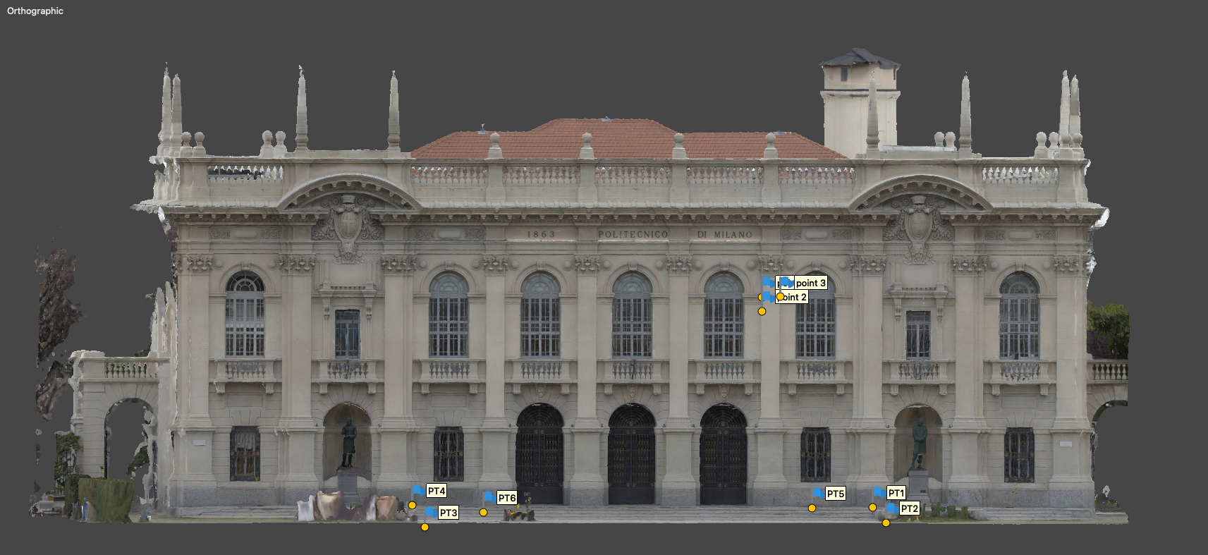
Facade reconstruction of Politecnico of Milano
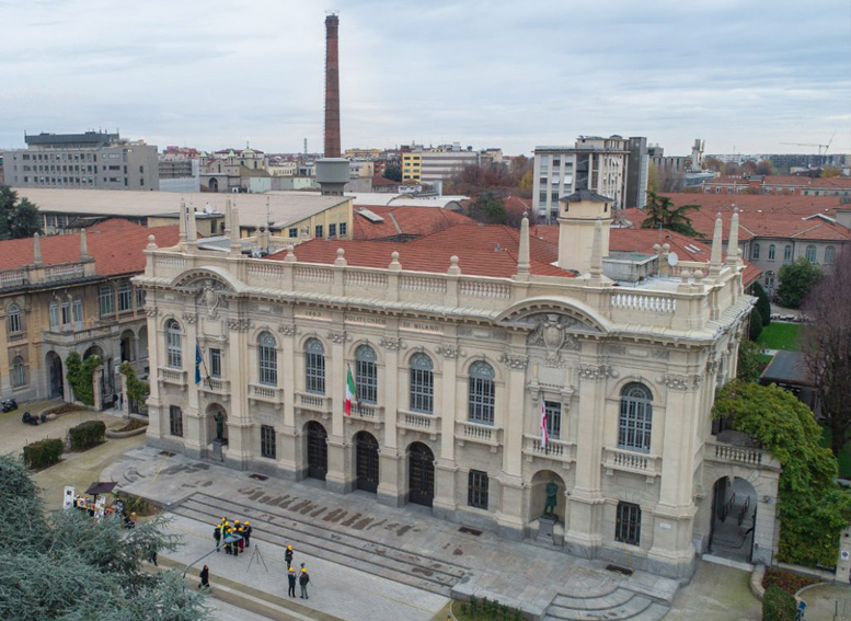
In the activity conducted at the Politecnico di Milano we made the comparison between aerial photogrammetry and laser survey, highlighting the peculiarities of the two different approaches. The work was performed in the Milan city center, authorized by the national authority which allowed us to fly near the airport.
Survey Statistics
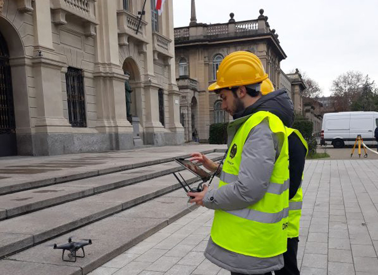
The acquisition was carried out with a Leica RTC 360 terrestrial laser scanner and DJI model drone from the Phantom series. For the photogrammetric survey of the façade, 3 flights were carried out, one of which was programmed using mission planning software and two manual flights.
With the two point clouds obtained, we made a fusion to improve the quality of the result and rebuilt the facade of the Politecnico di Milano.
Challenge
Small-scale aerial photogrammetric survey for the reconstruction of the facade of Politecnico di Milano – Piazza Leonardo da Vinci.
During an experimental project, we wanted to showcase the photogrammetric workflow.
The client asked for:
- Dense cloud
Dense cloud are one of the first steps in reconstruction, as they represent every detail that the software is able to clearly identify among different images.
Cloud points can both be colorless, have an RGB value based on the data captured or be colored using a scalar field defined by the user.
- Contour line
Contour lines can help identify different planes and height differences, as they are continuous lines that join every point placed at the same altitude.
- Classification
Every point present in a point cloud can be assigned to a class, eg. ground, vegetation, buildings, roads etc., allowing the user to filter them and better comprehend the model.
- Georeferenced orthomosaic
Orthomosaics are able to represent extensive portions of land without any distortion, so they are useful for every task that includes measuring, drawing or planning. As every image contains GPS data, the orthomosaic generated are called georeferenced, as each pixel will contain a pointer to the real-world position from where it has been acquired.
Solution
UAV data has then been aligned to groud Laser Scanners in order to get the most out of both technologies.
Equipment used:
- DJI Phantom 4 Pro Obsidian (Photos)
- DJI Phantom 4 RTK (Survey)
Thanks to RTK technologies, the GPS data embedded in the images has a centimetre-level accuracy, minimizing positioning and alignment error during reconstruction
- Reach Emlid RS2
To improve accuracy even further, some GCP has been collected in the surrounding square
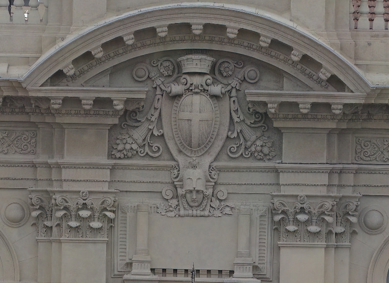
- Leica BLK360
We used a ground based laser scanner to enhance the facade details as much as possible, while getting close ups of the rooftop and balconies by drone

