Photogrammetric survey of Gioia Tauro docks
Challenge
Large-scale aerial precision photogrammetric survey in an industrial enviroment, active 24/7 as a high volume dock responsable for most of the cargo traffic in the South Italy.
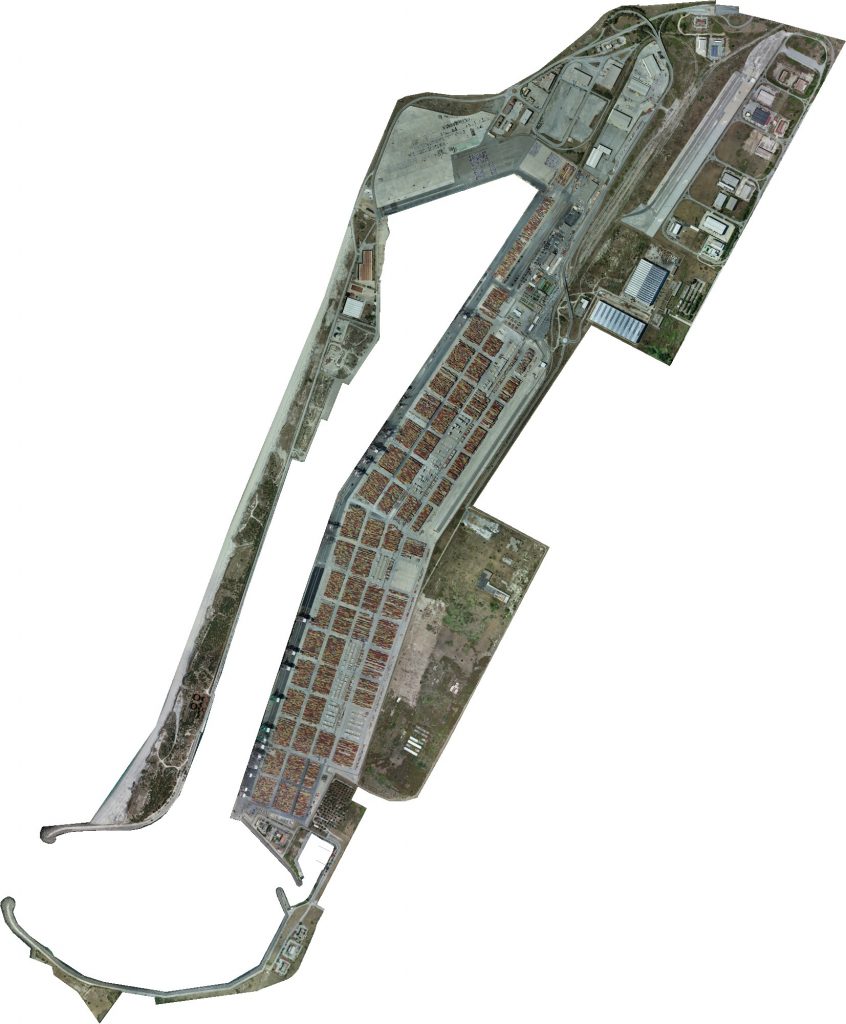
Situated in the Tirrenian sea and extending for about 440Ha, the portual area of Gioia Tauro is the most important in Calabria.
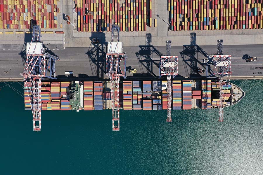
Representing a crucial point for trade and logistics and with many different companies operating side to side, it is necessary to keep track of every change in order to organize viability and optimize every process as much as possible.
The client asked for:
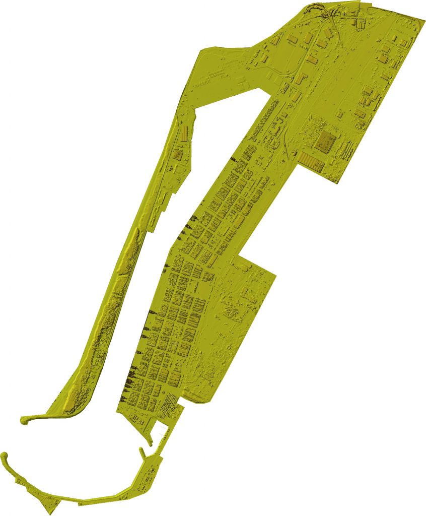
- Dense cloud
Dense cloud are one of the first steps in reconstruction, as they represent every detail that the software is able to clearly identify among different images.
Cloud points can both be colorless, have an RGB value based on the data captured or be colored using a scalar field defined by the user.
- Contour line
Contour lines can help identify different planes and height differences, as they are continuous lines that join every point placed at the same altitude.
- Classification
Every point present in a point cloud can be assigned to a class, eg. ground, vegetation, buildings, roads etc., allowing the user to filter them and better comprehend the model.
- Georeferenced orthomosaic
Orthomosaics are able to represent extensive portions of land without any distortion, so they are useful for every task that includes measuring, drawing or planning. As every image contains GPS data, the orthomosaic generated are called georeferenced, as each pixel will contain a pointer to the real-world position from where it has been acquired.
As hundreds of containers and vehicles are constantly moving around, it is necessary to take advanced of the most advanced technologies in both hardware and software to carry out a succesful reconstruction. The area, water excluded, extended for about 440Ha.
Solution
Thanks to high-autonomy UAVs, like the DJI Matrice 300, it has been possible to survey the whole dock area in about 4 days.
Due to the high accuracy required, it was mandatory to also take advantage of RTK onboard and GCPs scattered around the area.