Photogrammetric survey of a tuff quarry in Taurisano - Apulia
Challenge
Small-scale aerial photogrammetric survey in an active quarry, with lots of moving vehicles and heavy equipment.
The client asked for:
-
Dense cloud
Dense cloud are one of the first steps in reconstruction, as they represent every detail that the software is able to clearly identify among different images.
Cloud points can both be colorless, have an RGB value based on the data captured or be colored using a scalar field defined by the user.
-
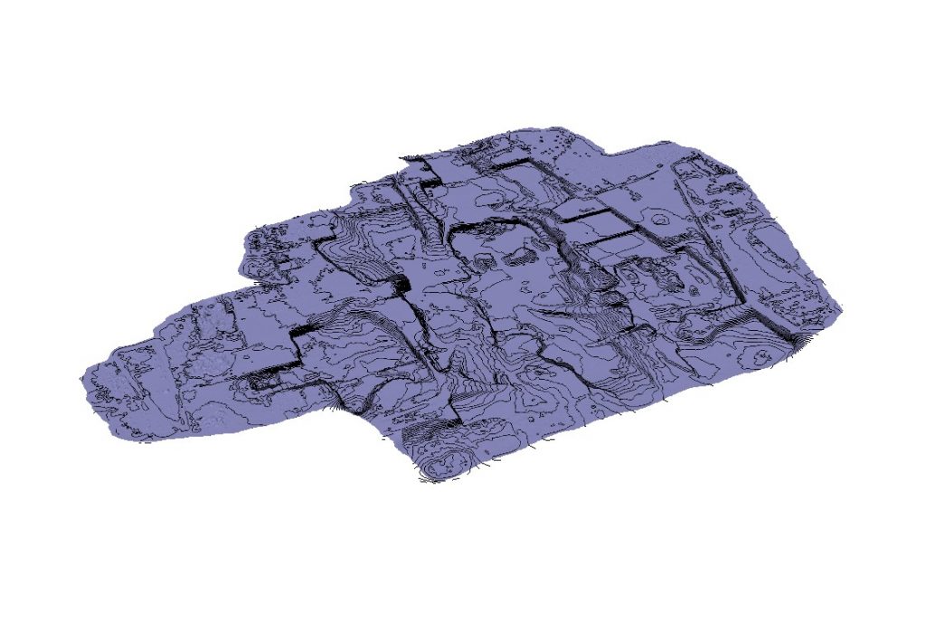
Contour line
Contour lines can help identify different planes and height differences, as they are continuous lines that join every point placed at the same altitude.
-
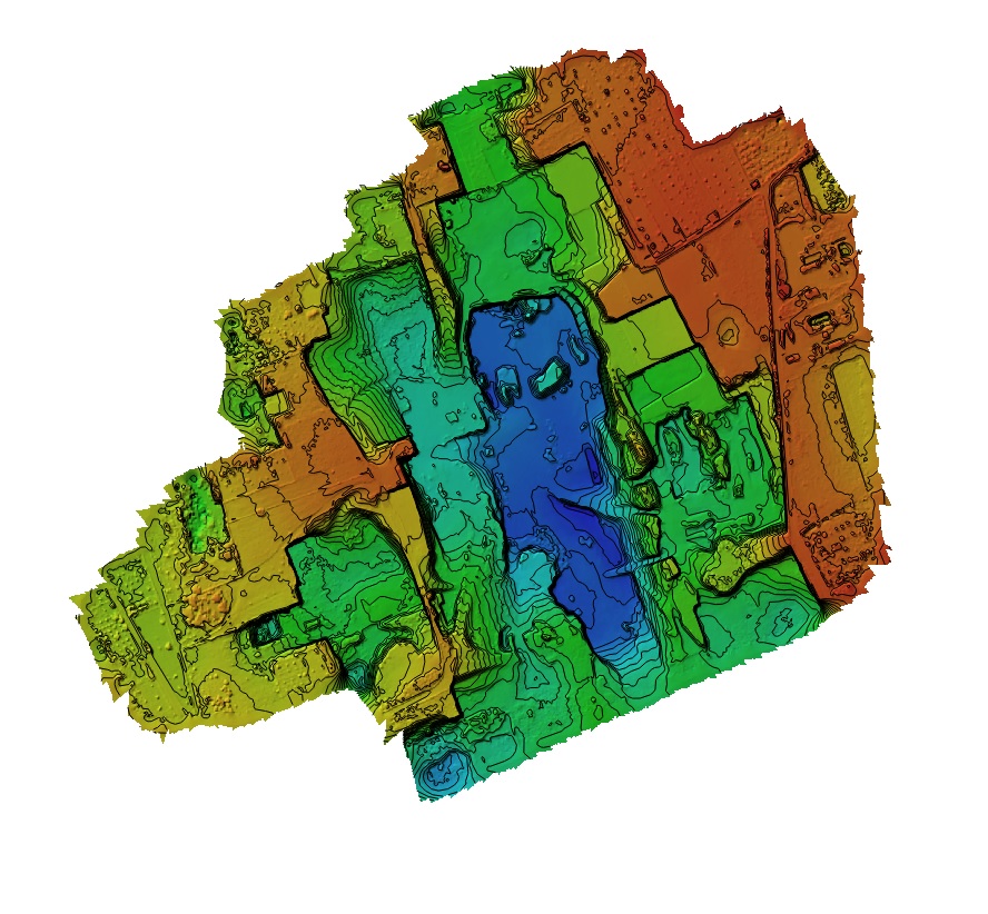
Classification
Every point present in a point cloud can be assigned to a class, eg. ground, vegetation, buildings, roads etc., allowing the user to filter them and better comprehend the model.
-
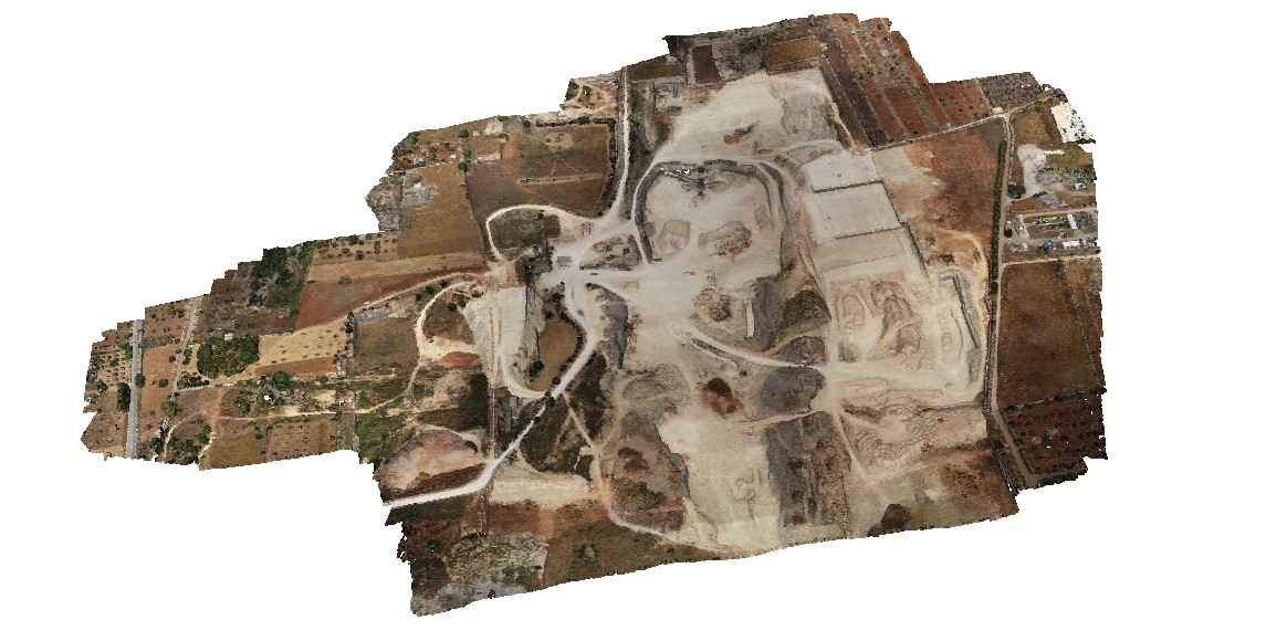
Georeferenced orthomosaic
Orthomosaics are able to represent extensive portions of land without any distortion, so they are useful for every task that includes measuring, drawing or planning. As every image contains GPS data, the orthomosaic generated are called georeferenced, as each pixel will contain a pointer to the real-world position from where it has been acquired.
The client needs a snapshot of the actual volumes in the carry to estimate the manhours needed for excavation/filling.
Solution
It has been possible to complete the whole acquisition in just one working day, thanks to a highly integrated solution such as the DJI Phantom 4 RTK.
Due to the high accuracy required, it was mandatory to also take advantage of RTK onboard and GCPs scattered around the area.