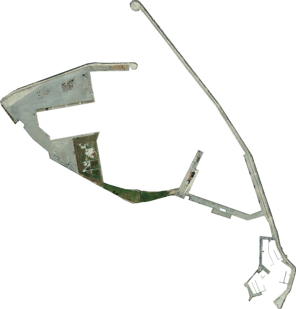
Precision photogrammetry of the entire port area - Crotone (KR)
Challenge
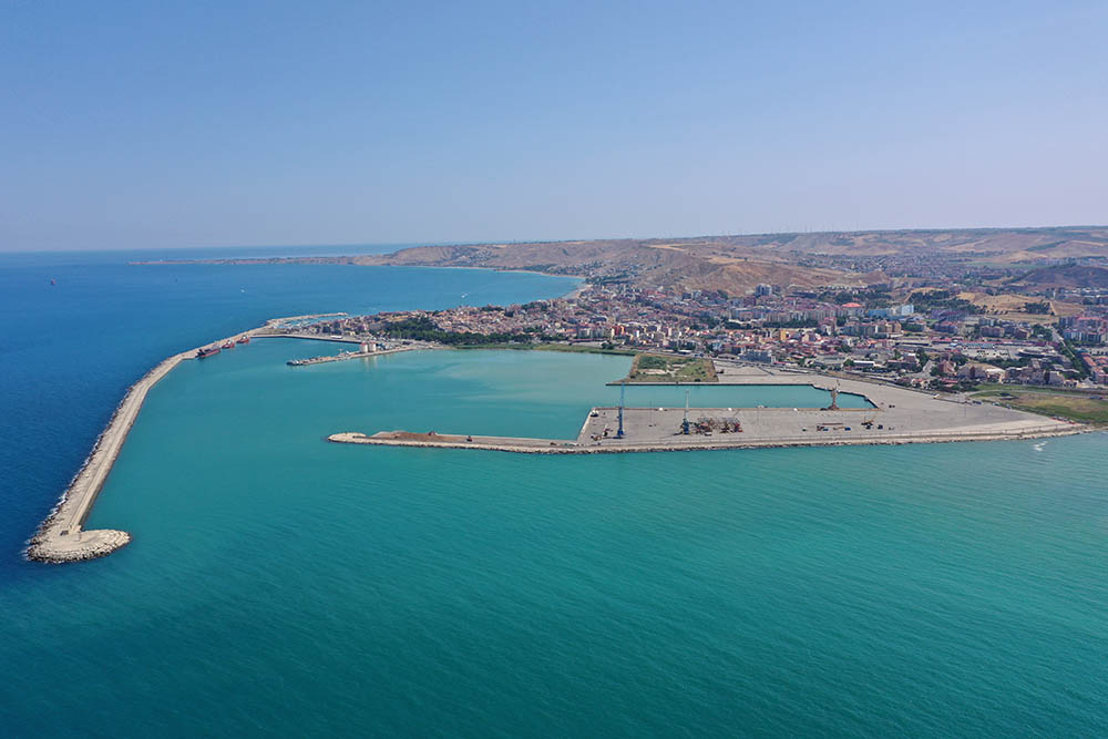
Small-scale aerial photogrammetric survey in an industrial area, the survey had to be carried out while heavy machinery were moving as, like in most docks, there are activities planned 24/7.
The client asked for:
- Dense cloud
Dense cloud are one of the first steps in reconstruction, as they represent every detail that the software is able to clearly identify among different images.
Cloud points can both be colorless, have an RGB value based on the data captured or be colored using a scalar field defined by the user.
- Contour line
Contour lines can help identify different planes and height differences, as they are continuous lines that join every point placed at the same altitude.
- Classification
Every point present in a point cloud can be assigned to a class, eg. ground, vegetation, buildings, roads etc., allowing the user to filter them and better comprehend the model.
- Georeferenced orthomosaic
Orthomosaics are able to represent extensive portions of land without any distortion, so they are useful for every task that includes measuring, drawing or planning. As every image contains GPS data, the orthomosaic generated are called georeferenced, as each pixel will contain a pointer to the real-world position from where it has been acquired.
The docks area extends for about 45Ha.
Solution
Thanks to high-autonomy UAVs, like the DJI Matrice 300, it has been possible to survey the whole dock area in just 1 day.
Due to the high accuracy required, it was mandatory to also take advantage of RTK onboard and GCPs scattered around the area.