Contact us at the Dron-e office or submit a business inquiry online.
-
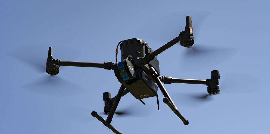
Agisoft Metashape – Version 2.2 updates
- January 13, 2025
- Posted by: noAdmin
- Categories: News, Photogrammetry, Press Release
No Comments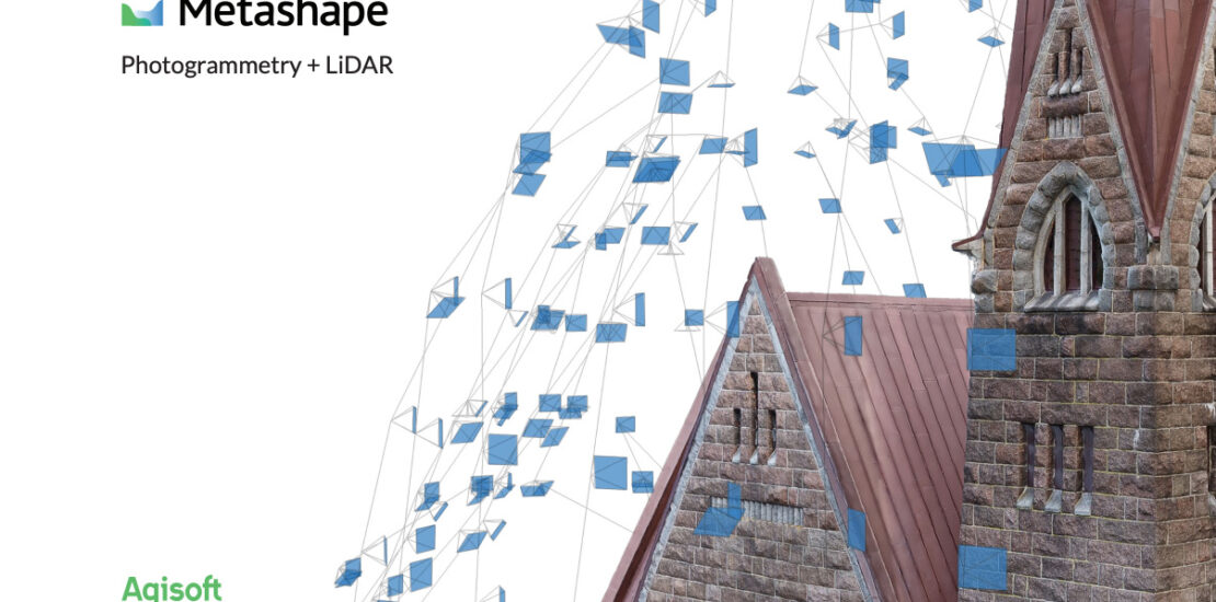
Agisoft updates Metashape to version 2.2, adding advanced features for LiDAR data processing.
-
Dron-e ricerca piloti di UAS in tutta Italia
- January 5, 2023
- Posted by: noAdmin
- Categories: News, Press Release

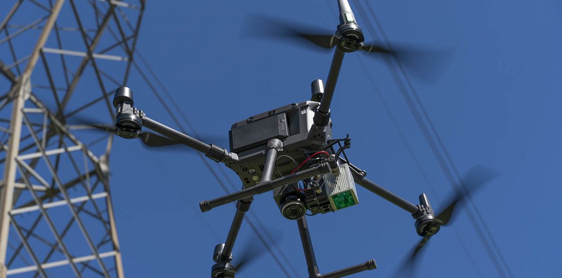
Dron-e è alla ricerca di piloti esperti per ispezioni di infrastrutture in Italia.
-
Attiva SpA e DRON-E presentano i droni DJI Enterprise all’evento del 24/11 a Catanzaro.
- November 15, 2022
- Posted by: noAdmin
- Categories: DJI Enterprise Dealer, News, Press Release

Evento sui droni DJI Enterprise il 24 novembre 2022 a Catanzaro. Si tratta di una tappa unica nel Sud Italia, in cui l’azienda catanzarese presenterà dal vivo gli ultimi prodotti della gamma DJI Enterprise e farà una panoramica sulle tutte le possibili applicazioni in ambito industriale, tracciando le linee di un futuro sempre più vicino alla vita di tutti noi.
-
Emesent presenta Hovermap ST-X
- October 20, 2022
- Posted by: noAdmin
- Categories: LiDar Survey, Press Release
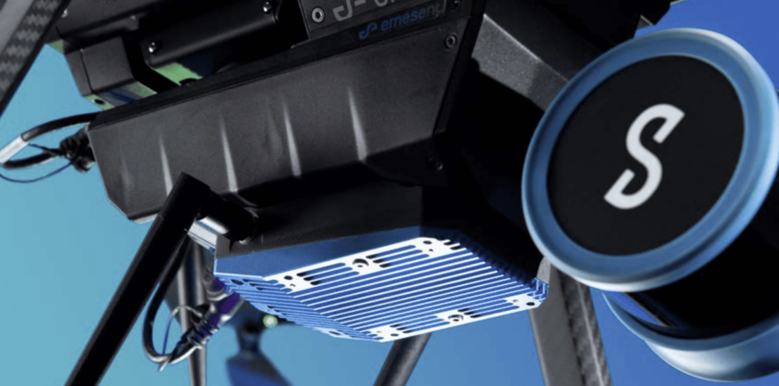
Versatile ed autonomo: il LiDAR basato su tecnologia SLAM che rende l’acquisizione dati semplice e veloce.
-
Emesent presenta Hovermap ST
- March 31, 2022
- Posted by: noAdmin
- Categories: LiDar Survey, Press Release
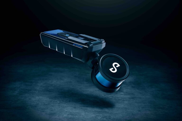
Versatile ed autonomo: il LiDAR basato su tecnologia SLAM che rende l’acquisizione dati semplice e veloce.
-
Dron-e diventa primo rivenditore Emesent in Italia
- November 22, 2021
- Posted by: noAdmin
- Categories: LiDar Survey, Press Release
Versatile ed autonomo: il LiDAR basato su tecnologia SLAM che rende l’acquisizione dati semplice e veloce.
-
Aerodyne and Dron-e Collaborate to Explore USD900 million Italian asset inspection market
- July 19, 2021
- Posted by: noAdmin
- Category: Press Release