High Precision
By combining GNSS and a self-developed high-accuracy IMU system, this solution achieves 4cm vertical accuracy and 5cm horizontal accuracy.
Exceptional Efficiency
It’s ready for work as soon as it’s powered on and can collect point cloud data from a 2.5km² area in a single flight.
30% Detection Range Increase
L2 reaches a detection range of up to 250 m (10% reflectivity, 100 klx) and 450 m (50% reflectivity, 0 klx). [3] The standard operational altitude now extends up to 120 meters.
Superior Penetration
With a spot size of 4×12 cm at 100m, only a fifth of that of L1, L2 not only detects smaller objects and delivers more detailed models, but can generate DEM.
One-Click Processing on DJI Terra
Generate a standard-format 3D point cloud model with just a click, as well as a DEM. Point cloud quality can also be analyzed in DJI Terra.
Point Cloud LiveView
Supports three display modes – RGB, point cloud, and point cloud/RGB side-by-side display. Quickly preview the recorded 3D point cloud model [4] to get real-time progress monitoring.
In the box:
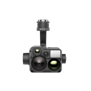
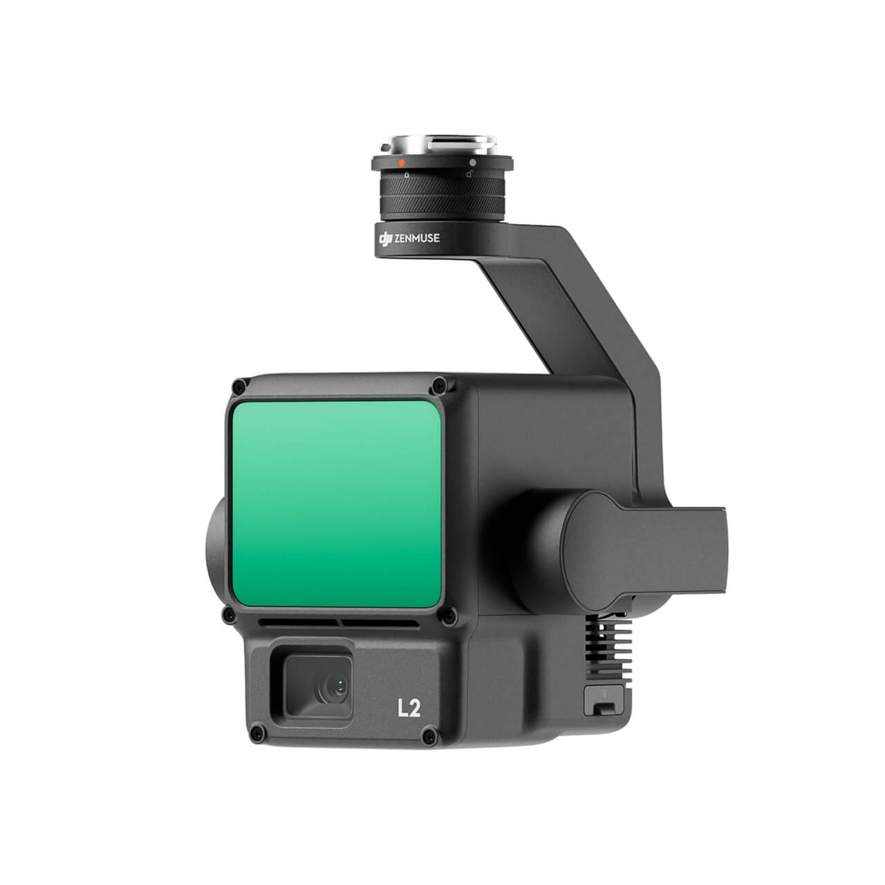
1x DJI Zenmuse L2
1x Cover
1x MicroSD 128GB
1x Hard Case
1x Cloth
12 Months of Kasko coverage