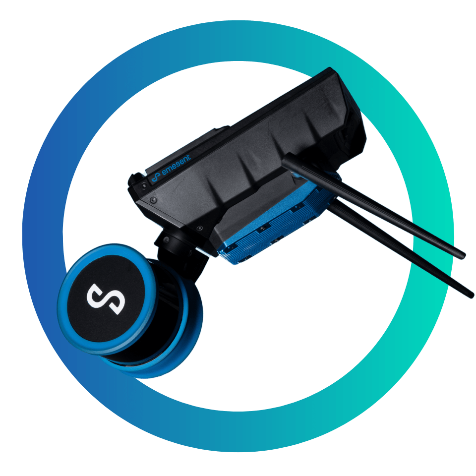
Hovermap ST-X also excels at indoor or close-range scans, producing sub-centimeter results thanks to the award-winning Wildcat SLAM solution, Automated Ground Control Points, and improved LiDAR sensor accuracy.
Uniquely versatile, Hovermap ST-X allows you to capture data in any environment. Mount it to a drone for autonomous aerial mapping, even in GPS-denied environments. Easily remove it from the drone and use it as a handheld, backpack, or vehicle-mounted scanner. Use a combination of these to rapidly capture as-builts and digital twins in minutes rather than hours.
The tough, lightweight, and weather sealed design makes Hovermap ST-X equally capable in the harshest environments, above ground or underground, indoors or out.
MAPPING MODE
- Provides SLAM-based mobile mapping
- Carry Hovermap or mount it to a drone or vehicle
- Use with our backpack, cage or vehicle mount accessories
PLUS MODE
- LiDAR-based omnidirectional collision avoidance
- GPS-denied position hold and velocity control
- Enables safe line-of-sight flight indoors, underground or close to structures
- Includes all AL0 features
AUTONOMOUY MODE
- Enables beyond line-of-sight autonomous flight in GPS-denied environments
- Live 3D map streamed to tablet
- Tap-to-Fly: set smart waypoints using the live map
- Includes all AL1 features
COLOURISATION FOR HOVERMAP™
Add a new level of reality capture to your 3D point clouds.
Emesent brings you additional insights from its best-in-class point cloud scans with the introduction of the Hovermap colourisation feature. The 3D point clouds from Hovermap can now be augmented with true colour, providing additional context for visualisation and analysis. Colourisation provides greater insights across a variety of applications, revealing previously hidden details in your critical infrastructure.