- September 20, 2024
- Posted by: noAdmin
- Category: News
Emesent presents Backpack RTK for Hovermap
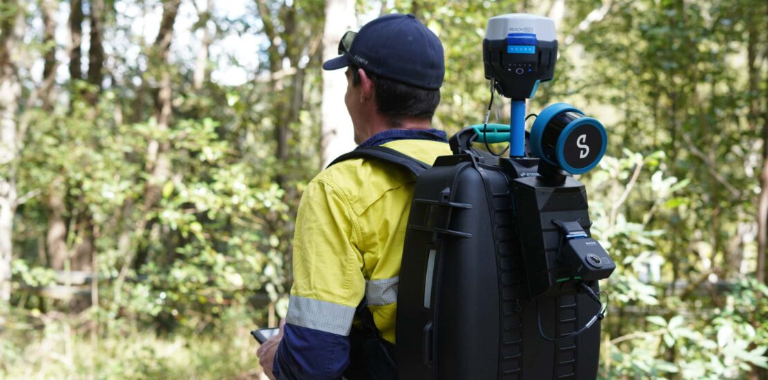
Emesent, the global leader in autonomous digital mapping, has recently introduced its Backpack RTK solution, further enhancing the capabilities of the Hovermap scanning system. This new accessory integrates real-time kinematics (RTK) GPS directly into the backpack, enabling more accurate data collection in environments suited for walking-based surveys. 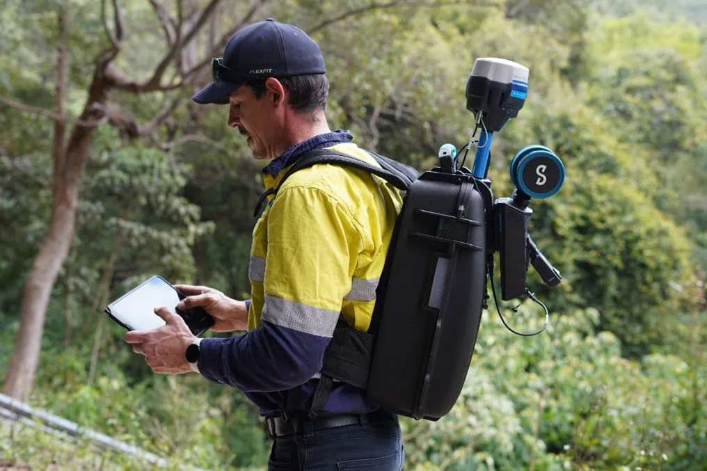
Maximum versatility.
Hovermap has already showcased its versatility with RTK solutions for both vehicles and drones, allowing precise mapping of open areas, linear infrastructures, and tunnels. With the introduction of the Backpack RTK, Hovermap becomes the ideal tool for environments where on-foot scans are required, such as construction sites, forests, or narrow streets. The Backpack RTK integrates RTK GPS data with SLAM using Emesent’s Aura software. This not only accurately geo-references the SLAM data but also improves the scan’s accuracy by using the RTK data as a SLAM constraint. As a result, surveyors can achieve highly detailed results without the need for setting up ground control points. The Backpack RTK reduces the time required for scanning and simplifies the process: simply connect the Hovermap and RTK receiver to the backpack and start scanning.
Compact solution, supports colorization.
This solution also supports Emesent’s 360-image kit, enabling colorization of point clouds or the creation of virtual tours. 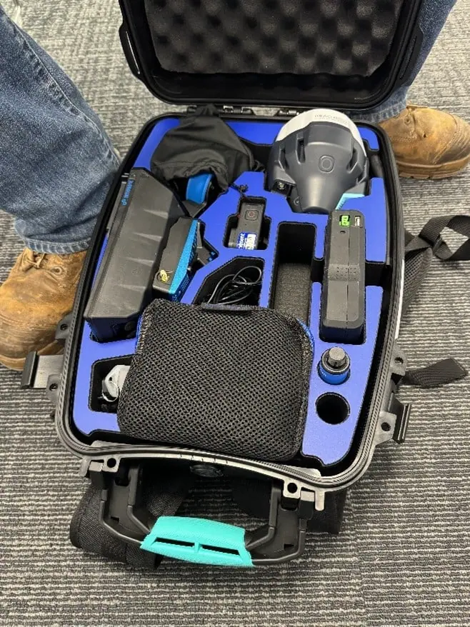
Currently, the Backpack RTK is compatible with Emlid RS2/RS2+ GNSS receivers and will soon support Trimble devices. Dron-e – Emesent Dealer Italy, get in touch for more. Stay connected – Civil Industrial Applications with UAVs.