Better Coverage and Efficiency for Industrial Plants and Infrastructure Data Capture with Hovermap SLAM LiDAR
- October 16, 2022
- Posted by: noAdmin
- Categories: Innovation, LiDar Survey, Survey & Mapping, Webinar

We are pleased to announce our next webinar:
Better Coverage and Efficiency for Industrial Plants and Infrastructure Data Capture.
On 25 October 2022 at 10 am (Italian time).
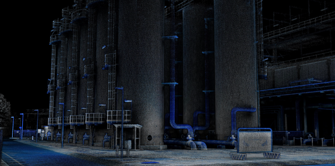
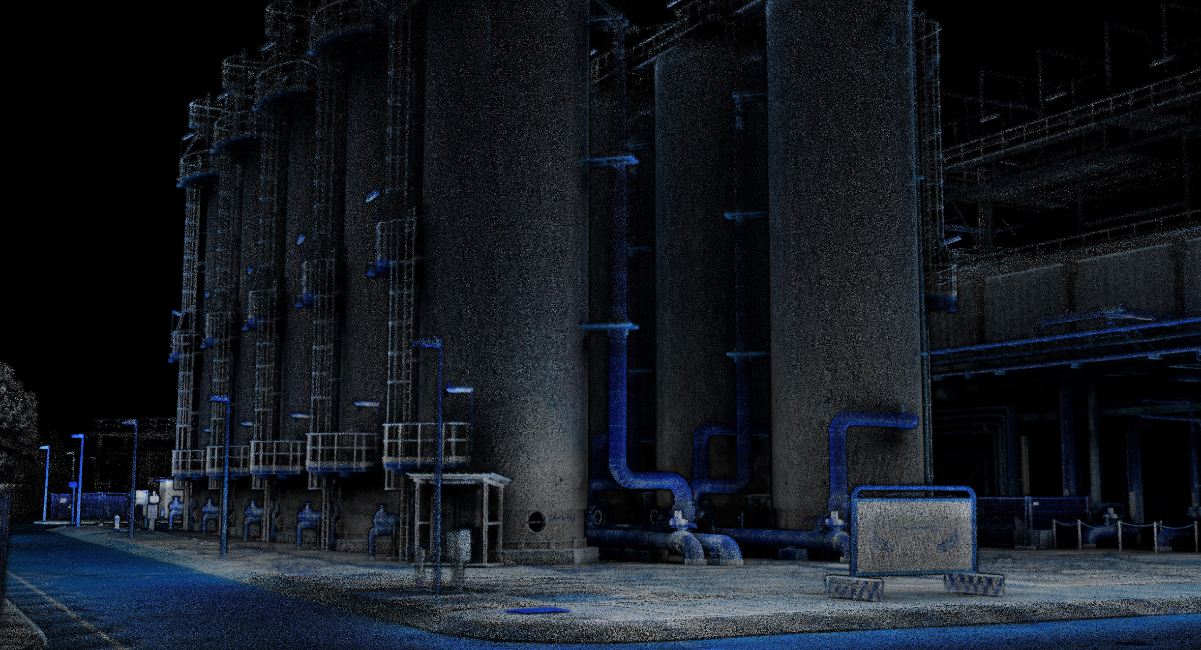
In this webinar Dron-e will share how we have increased the efficiency of our data capture while also ensuring better coverage. Technical manager, Andrea, will discuss the capture of a complete power generation plant and the digital reconstruction of a bridge.

Date: Tuesday, 25th October
Time: 10 am CET / 6 pm AEST
Duration: 30 minutes
Join this webinar to hear how Dron-e:
- are benefiting from a mobile scanner over a TLS
- are using the versatility to capture complete coverage of complex assets
- are using ground control points to bring higher accuracy to their mobile scans
- are benefiting from the higher efficiencies.
Specialized support in Italy.
Dron-e is an Emesent authorized reseller. For more informations, dataset, datasheets,you can visit the dedicated page or call +39 0961770591.
 Book a demo.
If you have a project, want to test the product, or undestand its possibilities, contact us!
Stay connected – Civil & Industrial Applications with UAVs.

