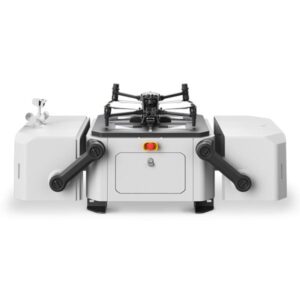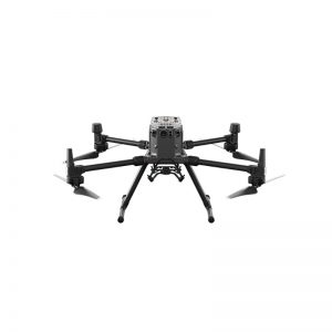



The Zenmuse L3 is DJI’s first long-range, high-precision aerial LiDAR system, designed for GIS operators, large-scale topographic surveys, critical infrastructure, and professional geospatial missions by DJI.
Key Features
The system integrates a 1535 nm wavelength LiDAR module, enabling a range of up to 950 m, even on surfaces with 10% reflectivity.
Pair of 100MP RGB cameras each (4/3″ sensor) with mechanical shutter, ideal for high-resolution mapping and true color.
High accuracy: For example, at 120m flight altitude, the vertical RMSE accuracy is about 3cm, and the horizontal RMSE is about 4cm.
Copertura giornaliera fino a 100 km², permettendo rilievi efficienti e ad ampia scala.
Multi-return support up to 16 returns, improving vegetation penetration and ground point density.
High-precision POS (Positioning and Orientation System) and integrated 3-axis stabilization (gimbal) for compact installation and operation.
Compatibility: Designed for quick mounting via SkyPort mount on the DJI Matrice 400 drone (note: not compatible with M300/M350 RTK).
Vantaggi operativi
Massima efficienza: grazie alla portata estesa e all’elevata velocità di acquisizione dati, consente di coprire grandi estensioni in minor tempo rispetto a sistemi convenzionali.
Alta risoluzione e qualità colore: le fotocamere da 100 MP forniscono immagini RGB dettagliate, perfette per migliorare la classificazione e l’interpretazione delle nuvole di punti.
Topographic accuracy: The LiDAR + POS combination ensures data that meets high requirements in topographic, infrastructure and environmental surveys.
Penetrazione e versatilità: il modulo LiDAR 1535 nm migliora la penetrazione sotto vegetazione e in condizioni difficili, rendendolo adatto anche per ispezioni di linee elettriche e rilievi ingegneristici.
Integrated Workflow: Part of the DJI Enterprise ecosystem (mission planning, acquisition, processing), making it easy to integrate into professional workflows.
User Instructions
Mounting exclusively on DJI Matrice 400: ensure compatibility and device configuration.
For maximum accuracy and performance, plan for appropriate altitudes (e.g. 120-300 m) and optimal light and reflectivity conditions.
Use compatible software (e.g. DJI Terra) for point cloud processing and GIS/archaeological workflow.
Consider environmental conditions: The hardware is designed to operate in a wide thermal and environmental range.