Thermal inspection of landfill for biogas leakage monitoring - Catanzaro (CZ)

Challenge
Medium-scale thermal inspection in order to check for organic material fermentation areas and relative biogas production monitoring in a landfill.
The client asked for:
- Thermal data
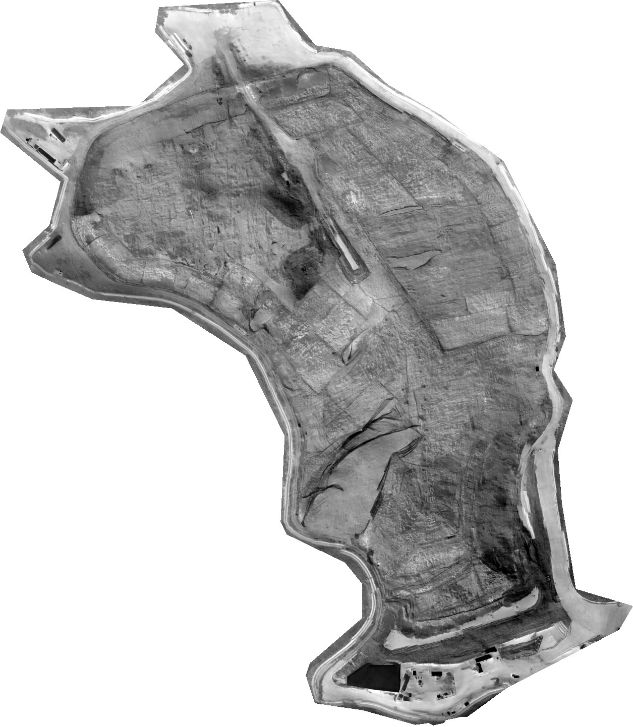
Thanks to thermal data gathered with radiometric cameras during both day and night, it can be possible to identify possible gas production sites,
- RGB data
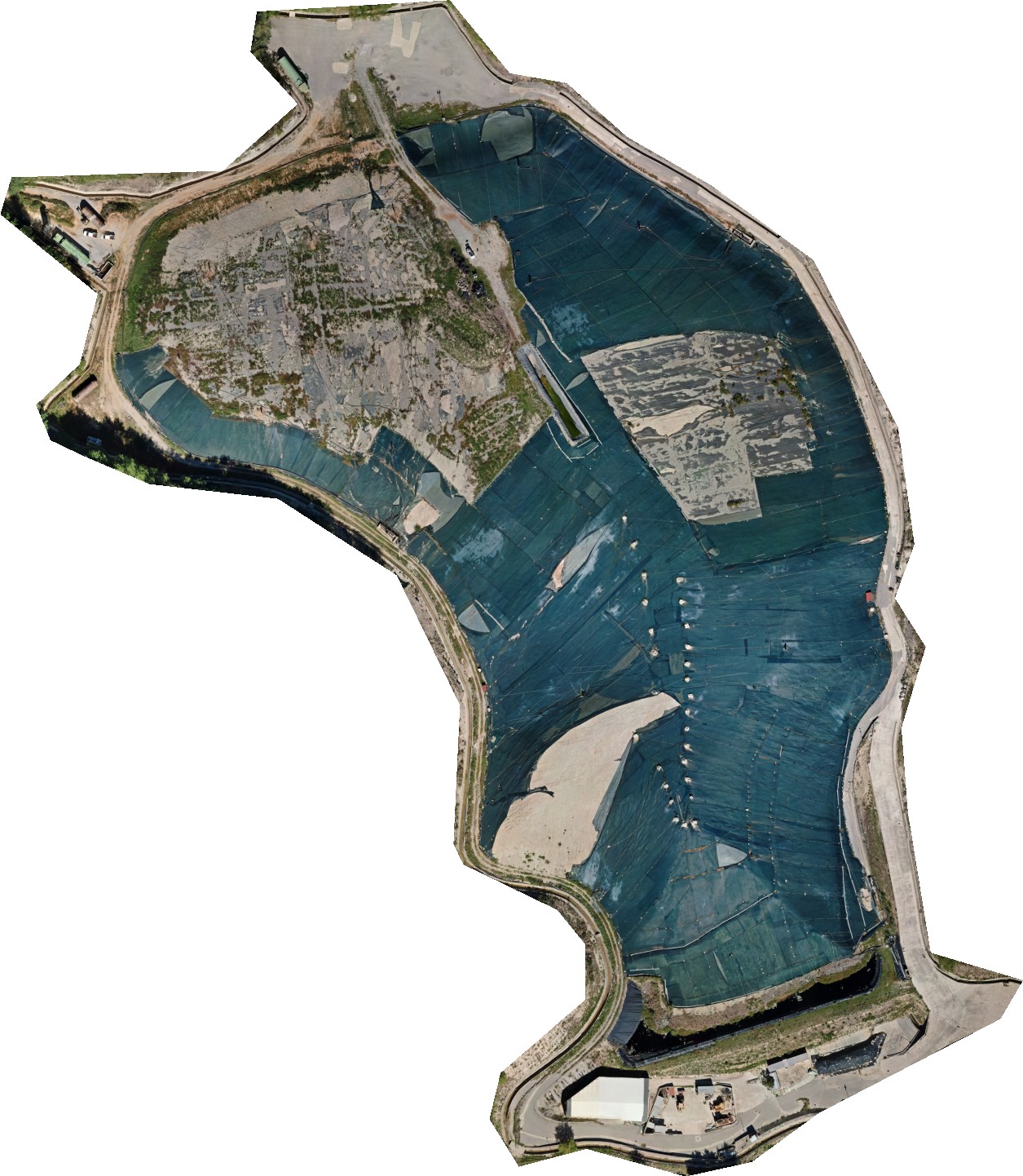
Visible data is compared against thermal images to identify points of interest.
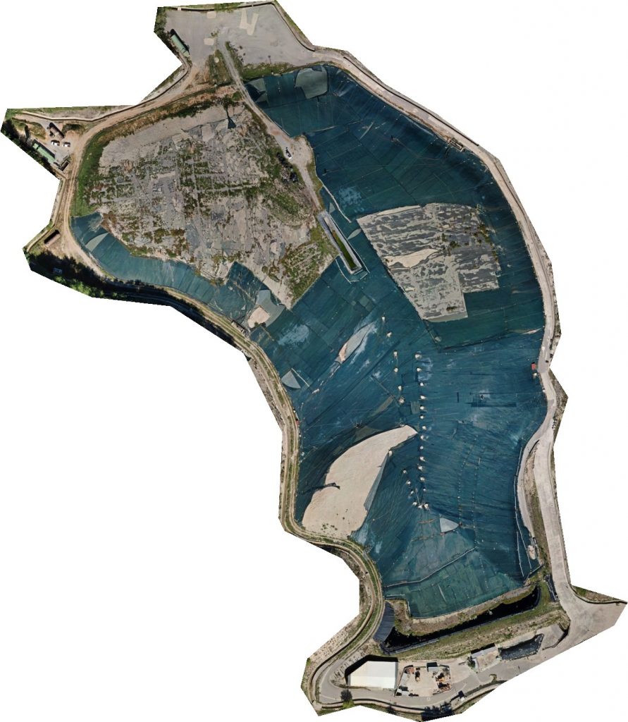
- Georeferenced orthomosaic
Orthomosaics are able to represent extensive portions of land without any distortion, so they are useful for every task that includes measuring, drawing or planning. As every image contains GPS data, the orthomosaic generated are called georeferenced, as each pixel will contain a pointer to the real-world position from where it has been acquired. Orthomosaics can be generated from both thermal and RGB data. Thermal data has been acquired at different hours of day and night to normalize temperature deltas caused by different solar exposure and absorbtion.
Solution
A short preliminary flight allowed us to develop an accurate DSM model that has been used as a base for the following surveys mission planning.
Each survey had a flight time of about 2h using a DJI Matrice 300.
Both thermal and RGB data have been acquired during a single flight thanks to the 4in1 DJI Zenmuse H20T sensor.
Result
Deliverables:
- RGB Orthomosaic
- Thermal Orthomosaic
- Hotspot positions
- Hotspot classification
Photos: 709×2 | GCP: 13 | Required GSD: 3cm/px (RGB), 10cm/px (Thermal)


