Integrated Drone Services for Wildfire Prevention, Monitoring and Emergency Response
Dron-e offers a fully integrated solution for public authorities engaged in wildfire prevention, environmental protection, and emergency response. Our services combine cutting-edge drone technology, real-time data platforms, and nationally available certified pilots to support civil protection strategies, AIB campaigns, and land monitoring programs. We work alongside municipalities, regions, forest agencies, and national emergency services, providing operational readiness, geospatial intelligence, and fast deployable UAV services across the country.
A complete all-in-one solution
We deliver a modular and scalable system, composed of:
-
Remotely-activated drones (e.g. DJI Dock systems), always on standby in strategic areas.
-
Live data visualization software, accessible in control or situation rooms, with thermal/RGB/multispectral streams.
-
Certified UAV pilots and mission specialists, available for immediate deployment nationwide.
-
Tailored operational protocols, aligned with ENAC/EASA, AIB, and civil protection standards
Core service provider
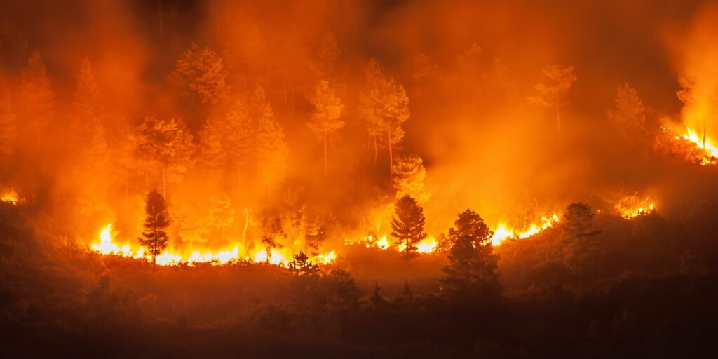
Wildfire detection and deterrence
Live drone operations with thermal and visual sensors for early detection, hotspot tracking, and perimeter surveillance in high-risk areas.
Fuel load and biomass mapping
Characterization of combustible vegetation using LiDAR and multispectral data to support fire risk zoning, planning of firebreaks, and prevention efforts.
Post-fire mapping and assessment
Rapid high resolution mapping of burnt areas for damage estimation, documentation, insurance claims, and reforestation planning.
Urban-wildland interface (WUI) monitoring
Pre season risk evaluation and in season patrols of urban peripheries in contact with forested land.
Designed for public sector needs
Our drone services are compliant with public procurement requirements and available for annual frameworks, seasonal campaigns or emergency activations. We support data reporting in formats compatible with GIS platforms and institutional databases. We also offer training, technical consulting, and turnkey operational planning.
Use case and references

Monitoraggio delle minacce alla biodiversità nell’ambito del progetto INTERREG V-A GRECIA-ITALIA 2014/2020;
Monitoraggio antincendio del Parco Naturale Regionale Litorale di Ugento e relativa formazione tecnica;
Monitoraggio del territorio regionale attraverso l’utilizzo di Droni.
How can we help you?
Digitalize your solar plant
Gain a comprehensive visual inspection of your solar plant to track module degradation and better evidence systemic warranty claims.
Locate visual anomalies
Identify visual anomalies such as delamination and snail trails from geo-located ultra-high-definition video capture.
Minimise time, cost and risk
Work more time-efficiently and cost-effectively whilst meeting increasingly complex health, safety and environmental requirements.
how can we help you?
Contact us at the Dron-e office nearest to you or submit a business inquiry online.
We strongly believe in the value of the SZ DJI Technology Co., Ltd. company. Our experience with DJI drones dates back to 2010 and today, with over 10 years of experience behind us, we are able to help our customers in choosing the best drone.
