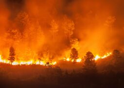
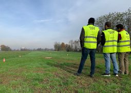
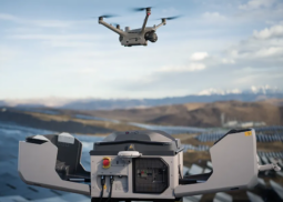
Drone services for wildfire prevention, monitoring and emergency response
Integrated Drone Services for Wildfire Prevention, Monitoring and Emergency Response
read moreTerrasolid distributor e training center
Dron-e is the official distributor of Terrasolid software in Italy for LiDAR data and imagery processing from drones, airborne and mobile mapping.
read morePhotogrammetry Training & Software Solutions
Unlock the Power of Photogrammetry with Expert Training
read moreAerial Cinematography
Since 2014 we have been shooting professional aerial shots and working for video production services all over the world.
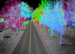
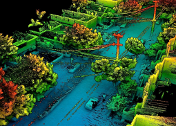
read moreAerial LiDar
We operate a suite of LiDar systems to provide high-quality, fast and accurate terrain mapping, ranging in accuracy from 1 to 50 mm.
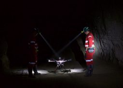
read moreConfined Spaces
Drone inspections in confined spaces are a valuable tool in identifying defects, structural anomalies and various problems.
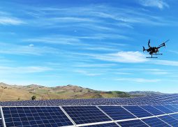
read moreSolar Site Inspection
We allow you to collect aerial solar data and obtain comprehensive analyzes to understand deficits and optimize your resources.
read morePhotogrammetry
Realize accurate, detailed, and up-to-date 2-D maps delivered via quality drone data and specialized mapping software.
read moreEmesent Dealer
A world-leader in drone autonomy and LiDAR mapping, Emesent is know for delivering high-quality data capture in various industries.
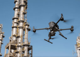
read moreDetailed inspection
Drone inspection makes it possible to access areas that may pose health, safety and environmental risks in a fast and safe way.
read moreTraining center
Regulations for civil use of UAS are being developed and implemented at an accelerated pace by ICAO, JARUS, European Union and EASA.
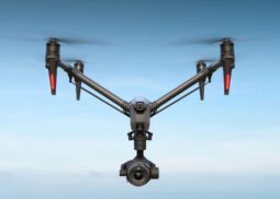
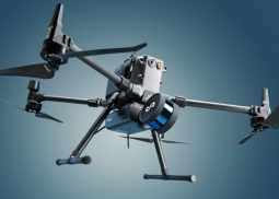
read moreDJI Enterprise Dealer
We resell the most used drones in the world in various application scenarios. Agriculture, energy, public safety, inspections, construction.
read more

