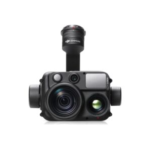
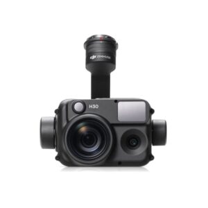
CALIBRATED MULTISPECTRAL IMAGE
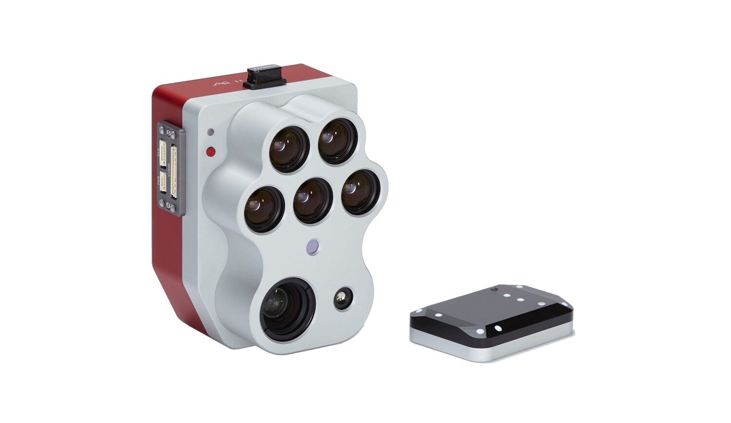
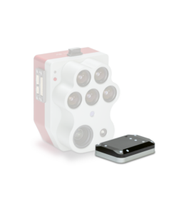
CRP 2 A new compact version of our calibrated reflectance panel. Same functionality, now in a smaller, easier to carry size! 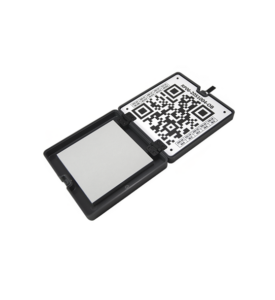 DLS 2 Our next-generation light sensor, with cutting-edge technology for measuring irradiance and solar angle. It provides more accurate and reliable data, significantly reduces the need for post-processing, and substantially improves radiometric accuracy. With built-in GPS, setup with any aircraft is simple.
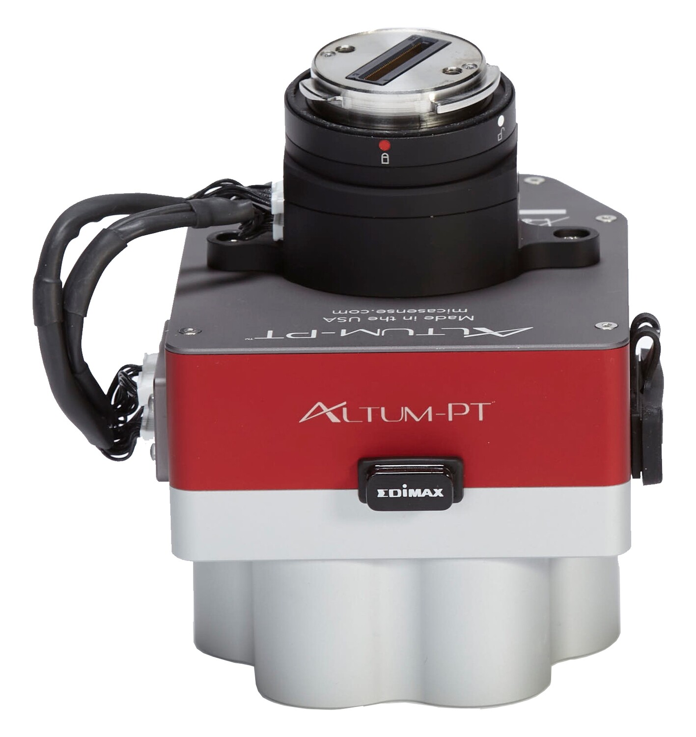
Increased Storage New professional removable storage standard in CFexpress, enabling over two captures per second, immediate response times between flights by swapping cards, and super-fast card-to-computer upload speeds for more efficient data management.
DOUBLE THE SPATIAL RESOLUTION OF THE PREVIOUS ALTUM
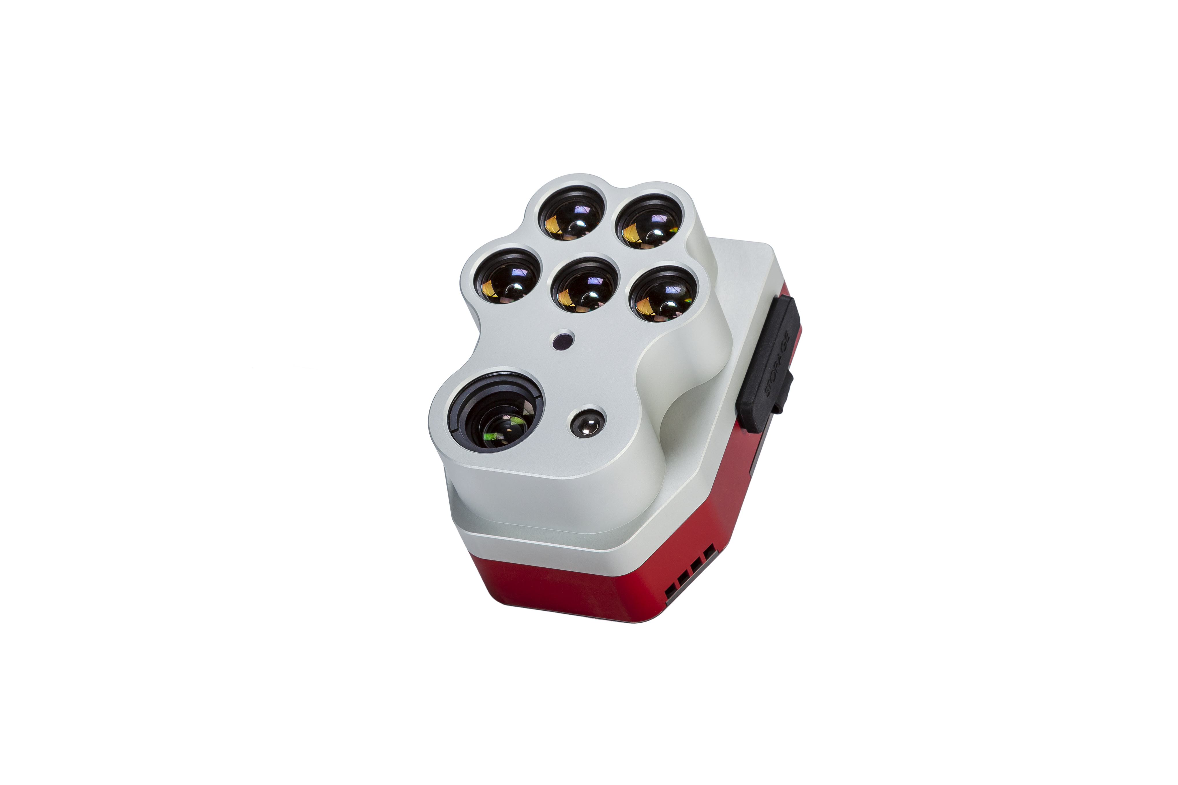
Altum-PT features an ultra-high-resolution panchromatic sensor that allows you to “sharpen the pan” on multispectral images, ultimately increasing the spatial resolution of multispectral data: 1.2 cm (0.47 in) of sharp ground resolution when flying at 60 m (200 ft).
IRRIGATION PROGRAMMING
Determining the timing, frequency and duration of irrigation is a critical factor in production agriculture as it directly impacts crop health. Altum-PT thermal imagery provides in-depth water management information, helping irrigation managers determine the correct irrigation and identify leaks or blockages in the irrigation system based on the difference in crop canopy and soil temperature.


