| Type | Single channel with shielded antenna |
| Center frequency | 1000MHz |
| Operating band | 600-1300 MHz (-6 dB) |
| Samples | 512 per track |
| Sampling rate | 25600 samples/second |
| Scanning frequency | 50 scan/s |
| Output example | 16-bit digital raw data |
| Time interval | Selectable time interval 50, 100, 200 or 300ns |
| Depth | Up to 2 meters depending on soil properties |
| Data Format | Standard geophysical SEGY data format (.sgy) with track geotagging |
| Temperature | internal temperature from -20°C to 60°C |
| Humidity | 96% non-condensing |
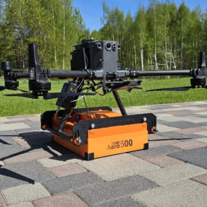
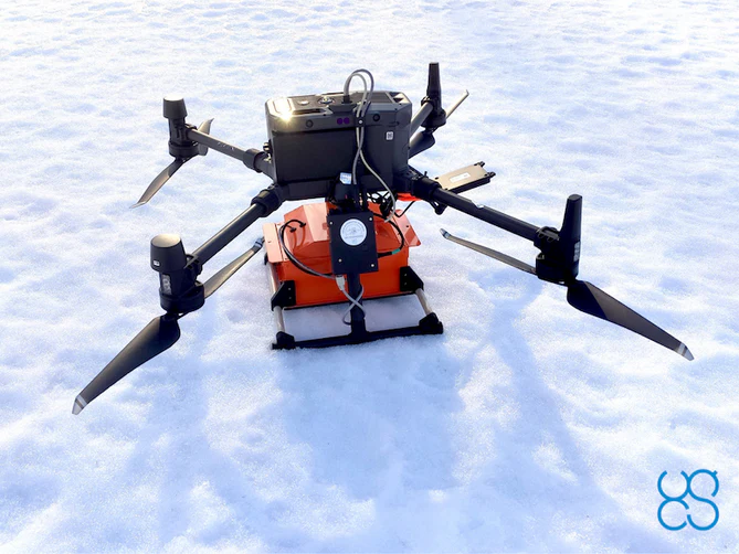
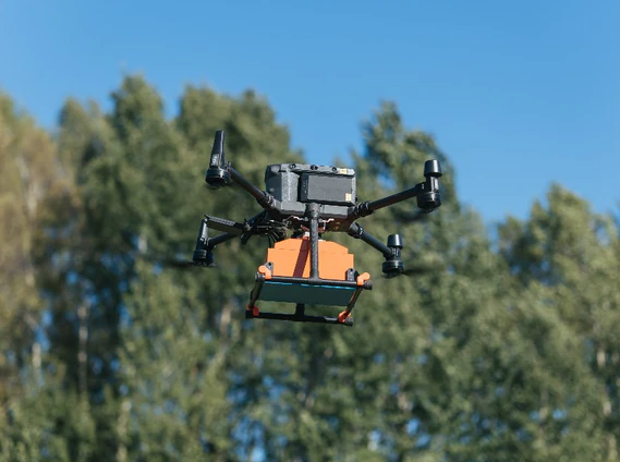
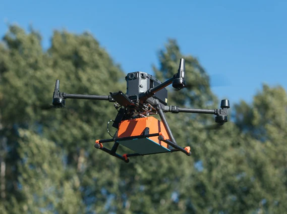
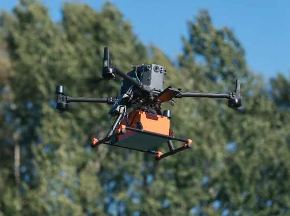
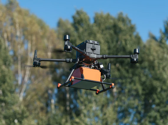
| Ingress protection | IP68 in a protective box (used for transport and ground surveys) IP52 in the aerial variant |
| Dimensions (W x D x H) |
|
| Weight |
|
| BATTERY | |
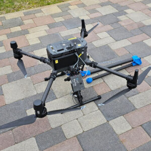
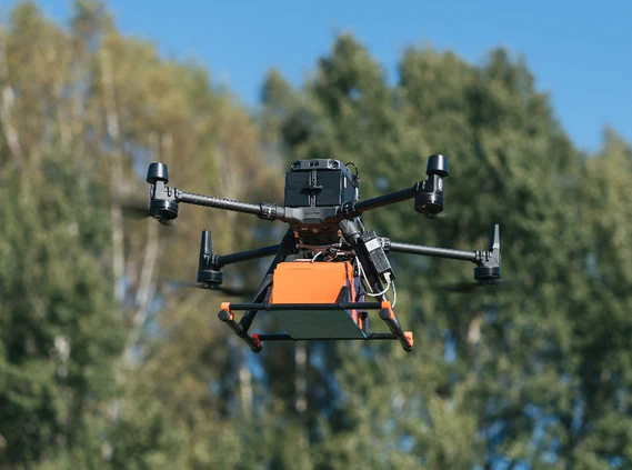
| Aircraft Variant | The main battery of the DJI M300 RTK or M600/M600 Pro drone is used to provide power to the GPR using the drone’s standard power socket intended for the payload |
| Reliefs on the ground | The battery is integrated in a protective box, autonomy up to 12 hours 99 W/h Li-Ion |