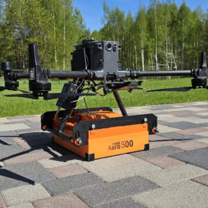
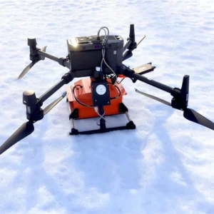
Drone GPR georadar enables precise and non-invasive geophysical surveys, mapping underground structures and anomalies over large areas. Ideal for civil engineering, archaeology and resource management, they improve operational efficiency with fast and reliable results.
Showing all 2 results